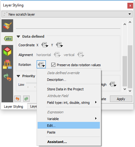
I have imported some OS MasterMap data into QGIS 3.2 and have labelled the Cartographic Text dataset. This dataset has a rotation field, populated with various angles of rotation depending where they are to be positioned with relation to roads and buildings. However, when I choose this column under Data Defined Placement, it seems to be rotating the labels in the wrong direction.
Is there a way to tell QGIS to treat the angles differently, as you can in ArcGIS (geographic or arithmetic)?

