I thought that I had seen a new feature in ArcGIS Pro 2.3 to be able to designate a polygon feature to act as a graphic clip on a map frame.
However, when I looked just now I found that it was not there.
What you can do is to digitize a polygon to act as a graphic clip on a map frame and this is described in the Modify a map frame help:
On the Insert tab, in the Map Frames group, click the Reshape
drop-down menu, choose a draw tool, and then draw a new shape on your
existing map frame.
I have looked some more and found that you can use a polygon feature to graphically click a Map (not a Map Frame) as long as you are using ArcGIS Pro 2.3.0 or later.
To test this I:
- Created a test project using the Map template
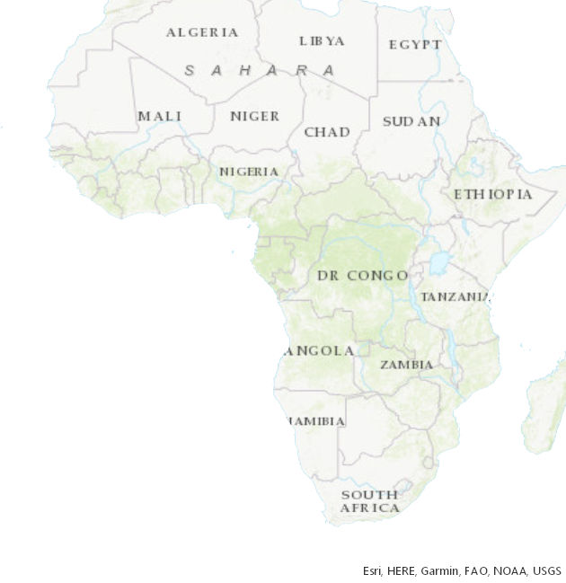
- Added a feature class (AfricanCountries) with polygons for each country in Africa (and turned it off so that I could see the Topographic basemap underneath
- Opened the Properties of the Map to its Clip Layers tab
- Changed No clipping to Clip to the outline of features
- Chose to Get shape from the outline of: AfricanCountries by double-clicking it, them clicked Apply and OK
- On the Share tab of the Ribbon I chose Export Map
- Set Save as type: JPEG and clicked Export
This is the result:

To export from a Layout instead just insert this graphically clipped Map into a Map Frame.

