Background:
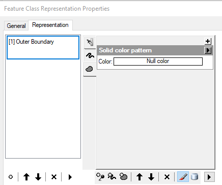
At Arc Desktop 10.6.1 I have an empty polygonal feature class (Let's call it "A") within a file geodatabase. "A" contains a Representation that specifies symbology with a transparent fill and white outer boundary. Here's a screenshot:
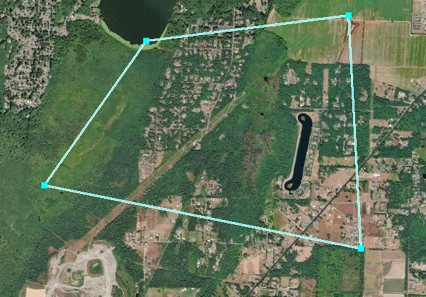
If I load the FC into ArcMap and add a polygon, its symbology displays as expected: transparent fill with a white boundary:
Problem:
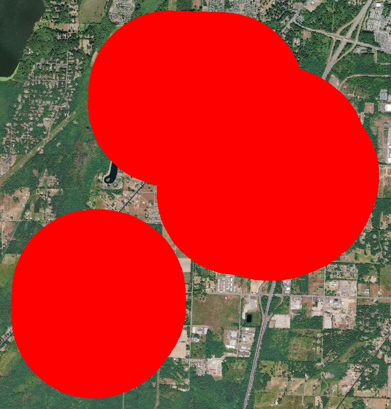
Using the Append tool, a separate FC (without Representations) containing one or more polygons is appended to "A" ("A" may or may not be empty). When "A" is subsequently loaded in ArcMap, the appended polygon(s) are displayed, but always with a solid red fill and no boundary. Screenshot:
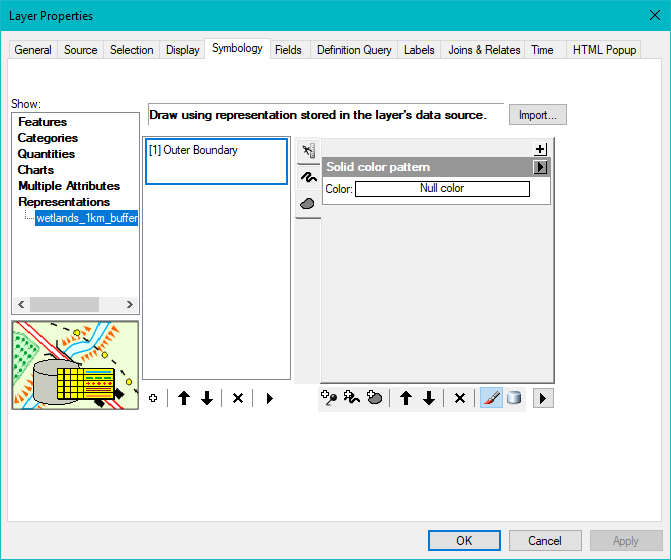
I expect that "A" should display its original transparent fill with a white outer boundary. In fact, ArcMap Layer Properties indicates that it should be transparent/white. Here's the screenshot:
Even more puzzling, altering the Representation symbology in ArcMap does not change the display: it is "locked" to a red polygon fill.
Interestingly, the red fill can be altered in ArcMap by abandoning Representations and using the Layer Properties > Single Symbol option, but I need to take advantage of the predetermined Representation symbology.
Question:
How to maintain the FC Representation symbology following an append?


