I have a shape file and I want to add a layer which includes the track points (x coordinate , Y - coordinate for the attribute table). I need the tracks for identifying the buidlings and for calculations.
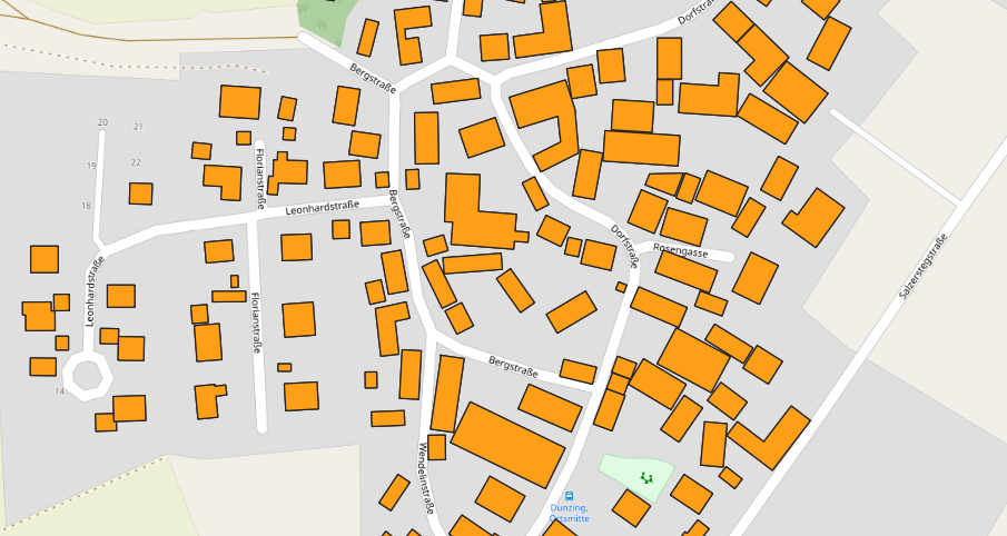
This is what it looks like.
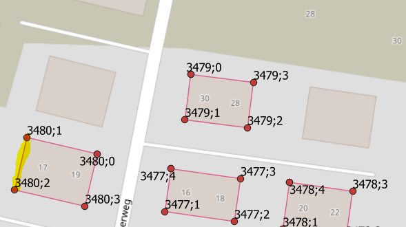
And the following picture shows what I need, the red dots are the track points. I got them from OSM by adding tracks and track points out of a GPX. The other file wasn't a GPX and I couldn't select adding track points as I added this layer.


