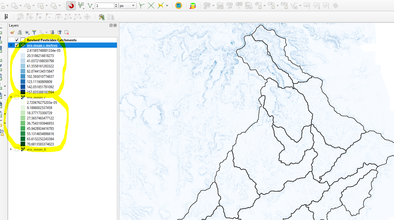
I have a raster layer which contains mean erosion values in tonnes/hectare/year. The layer is in EPSG:4283-GDA94 with degrees as units (the green layer below). When I save it (i.e. reproject it) to EPSG:28356 - GDA/MGA zone 56 - projected, the values in the raster change (the blue raster below). Please see the image below.
My question is: What calculation has been done on the values in the raster during the reprojection from degrees to metres. I need to know how the values in the reprojected raster are related to the source raster (which is in degrees) so that I can use the data in some raster calculations.
Obviously during the reprojection the cell size will change but how does QGIS re-calculate each pixel values ?

