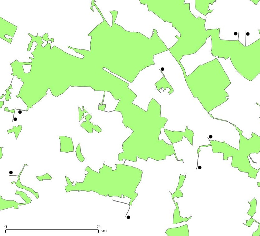
With some success, I've been generalising and cleaning Ordnance Survey OpenData VectorMap District woodland polygon shapefiles to make them fit for mid-scale mapping.
However, the resulting shapefiles contain small 'tails' that I wish to eliminate. I've put black dots next to some of these on the attached picture. The problem is that the 'tails' are actually part of the larger polygons, so I can't get rid of them using (for example) GRASS v.clean rmarea.
Can anyone help with this problem?
A sample shapefile (cleaned.shp) is included in this zip archive.

