I use 2 rasters orthophotos .TIFF : 1) the low resolution covering a large area. 2) the high resolution covering a small area and using an alpha band around the point of interest.
My aim is to merge this 2 files to deliver only one file that used the best of each image (full area in low resolution , and point of interest in high resolution ). That's why I've tried:
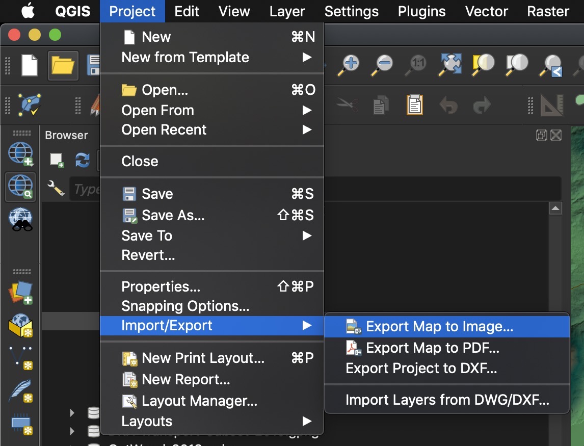
- Raster -> Miscellaneous -> Building Visual Raster : it merged both orthophoto using the right resolution for both parts, but the Alpha channel of the High resolution orthophoto (around the point of interest area) overwrites the other orthophoto: this solution doesn't work.
Do you have any idea how could I reach my aim? I use QGIS 3.10 but can use 3.4 or any other version.
Solution ==>
1) Warp lowest resolution image in order to reach the same resolution for both rasters.
2) Raster -> Miscellaneous -> Merge : it merged both orthophotos, at the good resolution, but the color of the part overlapped with data is not the same as the original image (high rez one).
3) Extend the histogram


