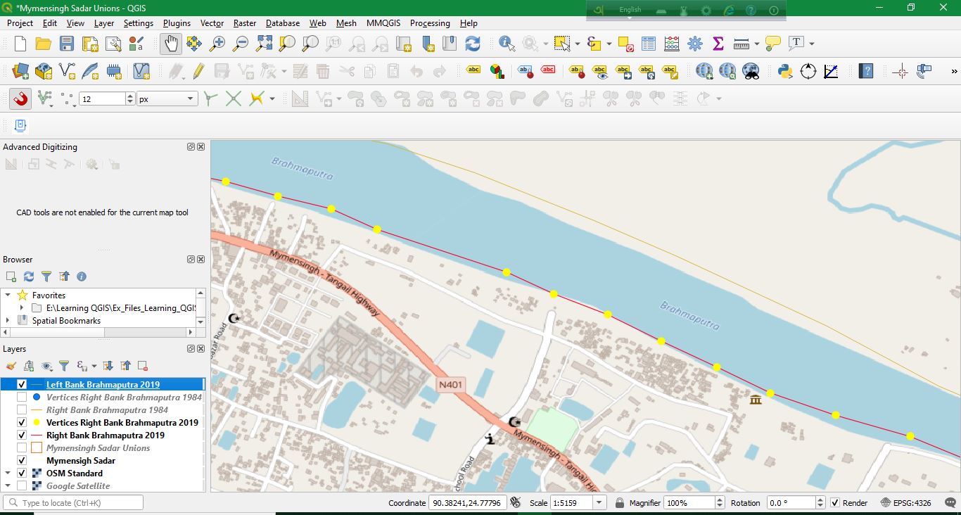
I have a polyline which represent the river bank of a particular section of a river drawn based on Satellite imagery. As you can see in the picture, it is drawn in red color. I have also a vertices which are generated from this polyline (yellow circle in picture). I want to measure azimuth in decimal degree with 6 precision of every line segment of this polyline, which will be added to the attribute table and can shown as labels in middle of the line segment. How can I proceed to do with QGIS?
1 Answer
Try Explode Lines tool (in Processing Toolbox > Vector geometry) to extract segments out of your red line layer.
Then open the Layer Properties > Label of the produced Exploded layer and give an expression:
degrees(azimuth(start_point($geometry), end_point($geometry)))
You need the labels, not the exploded line segments. To hide the Exploded line from showing on the map, set its Symbology to No symbols.


