3

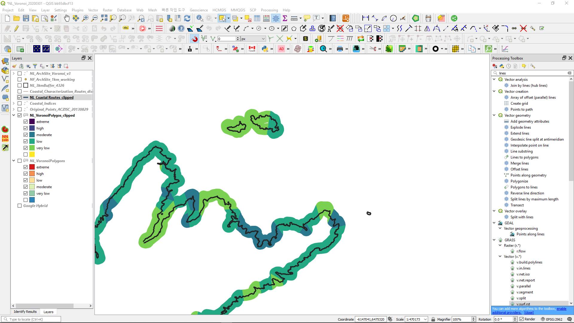
I have a long line, representing shoreline, with a 3km buffer overtop. The buffer has an attribute field representing the coastal characterisation for a certain length of shoreline, see image.

I am trying to split the line according to the coastal characterisation of the polygon buffer so I can get an accurate distance measure of the actual length of shoreline for each classification category coastal characterisation
1

1 Answer 1

3

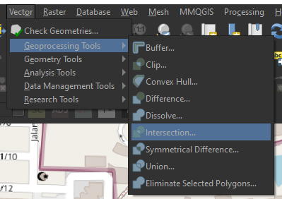
Use the intersection tool:

enter image description here

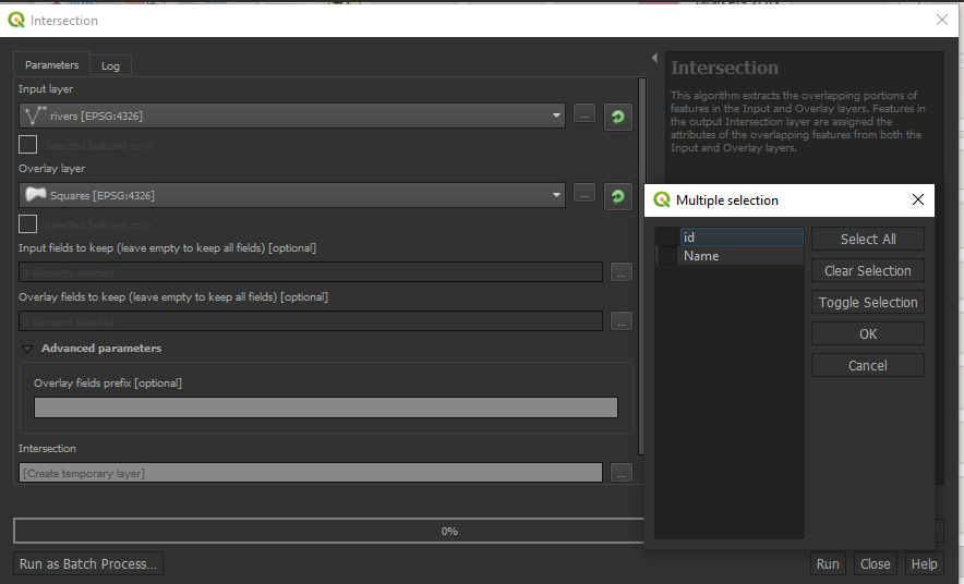
It has an Overlay function to retrieve data from one layer and add them into another. Just leave it empty, it will add all the field names.

enter image description here

Your Answer

By clicking “Post Your Answer”, you agree to our terms of service and acknowledge you have read our privacy policy.

Not the answer you're looking for? Browse other questions tagged or ask your own question.