I have a series of polygons (lakes) in Kansas, Oklahoma and a few in Texas. I created centroids for each lake, which I needed for distance measurements.
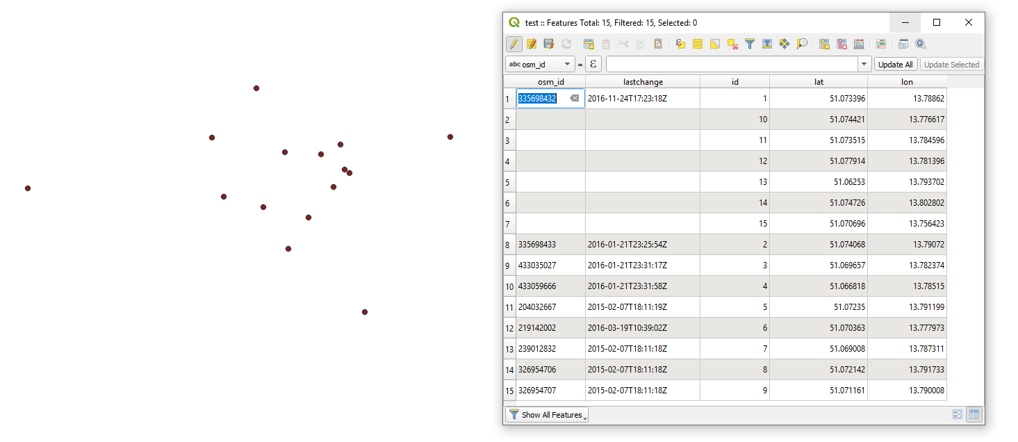
These centroids have derived lat/long information when they are clicked, but I am unable to get the same information added to the attribute table.
After doing research, I see that several people have had similar problems with the lat/long. I did manage to get some sort of location in the attribute table, similar to this (Adding x,y coordinates to Attribute table in QGIS), but I'm unable to get them converted to actual longitude/latitude.

