I have ranges of x and y coordinates in EPSG:102002 GRS 80 that I need to convert into EPSG:4326 WGS 84. I have tried different suggestions here and here but nothing has worked so far.
I find myself manually converting points of x and y coordinates to lat and lon coordinates online, one point at a time (N = 8200).
Is there a way to automatize this process where it also takes the projection into consideration?
I am pretty flexible with the program using, as long as it is not ArcGIS and Java.
Here is a sample
x             y            lat       lon
-3145588.03  5018975.86   63.30     177.62
-3115010.95  5010633.39   63.55     177.94
-3084474.59  5002315.52   63.80     178.28

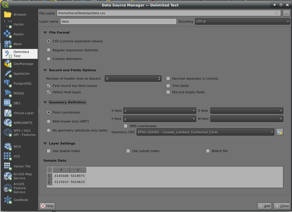
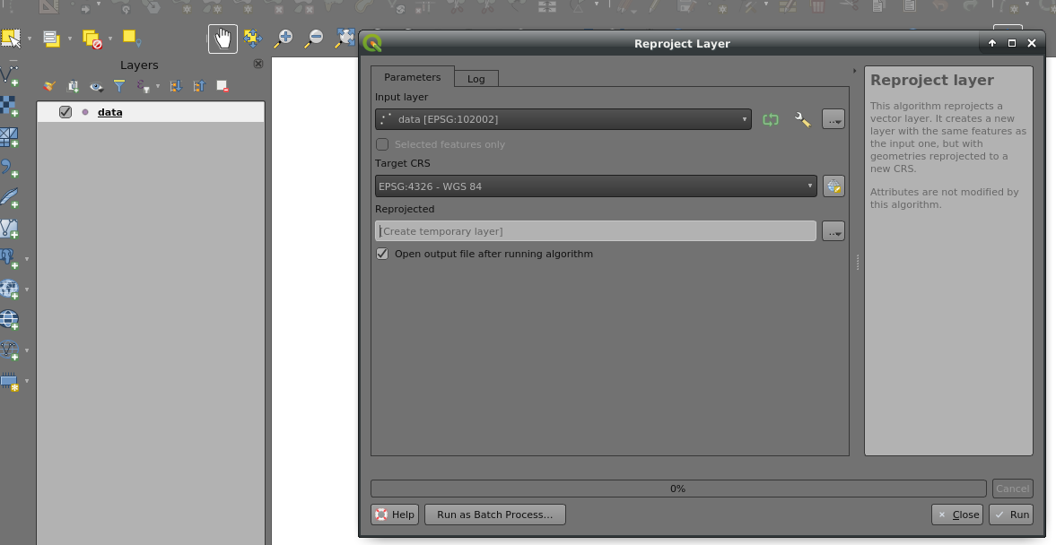
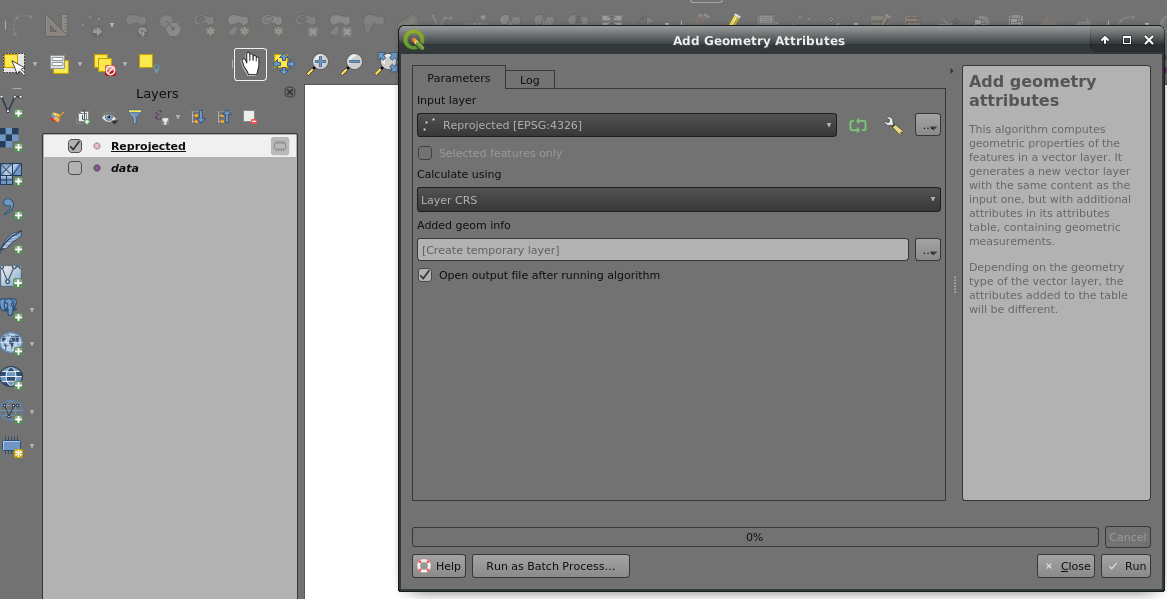

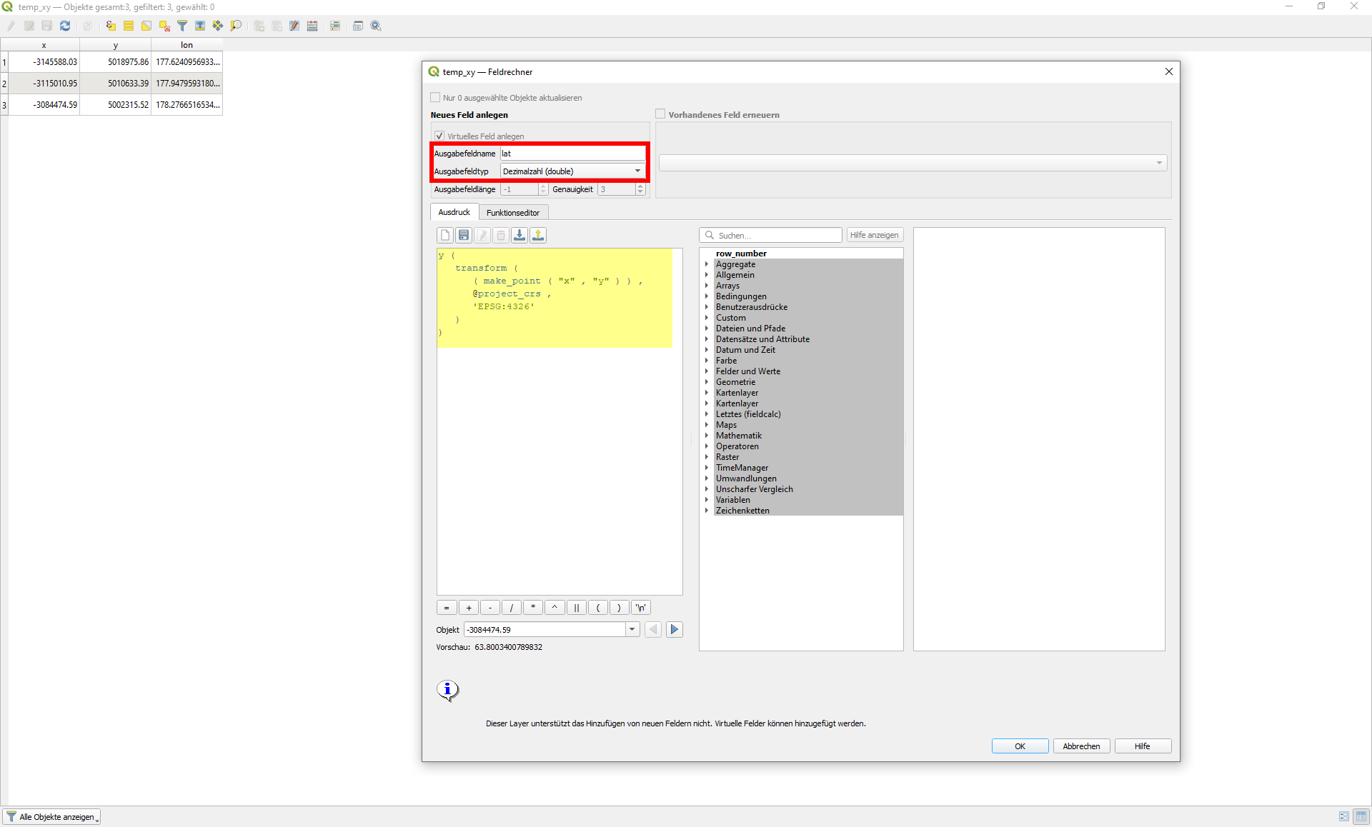
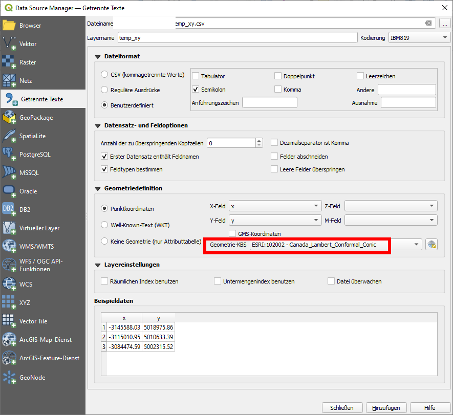
+proj=lcc +lat_0=40 +lon_0=-96 +lat_1=50 +lat_2=70 +x_0=0 +y_0=0 +ellps=GRS80 +towgs84=0,0,0,0,0,0,0 +units=m +no_defs +type=crs? Edit: QGIS seems to use EPSG as a synonyme.