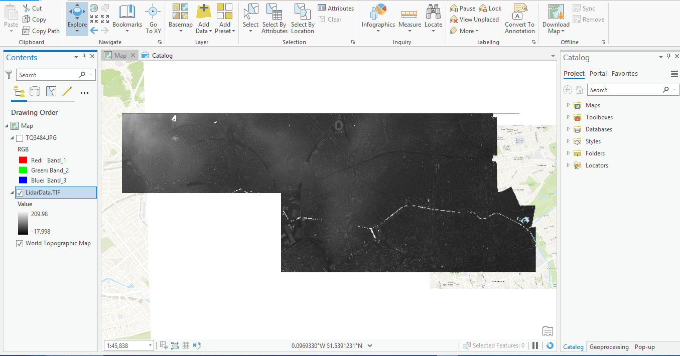
I have a "processed" LiDAR that is available as TIFF, I do not know how it was processed although I've read about the method of converting a LAS dataset to Mosaic, terrain, etc.
I was basically just given the tiff below to generate a DSM and DEM, it is basically just flat.
I have searched on how to create dem and dsm surfaces from the lidar raster but can't find anything about it, although there's information of accomplishing that if it were a point clouds.
So how can I possibly create DSM and DEM from the Lidar tiff?

