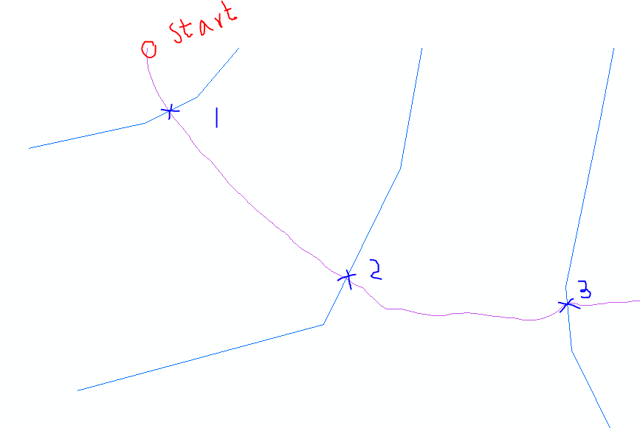
I have two sets of polylines, illustrated in the screenshot (roads in purple and bridges in blue). I want to find the distance along the route for intersection point of each bridges from the starting point of the road and add it as a field to the bridge attribute table. Essentially, I want to add a stationing field in reference to start of the road to the bridges. See the screenshot below for clarification;

What I thought of doing is creating a point feature with the intersections, then finding the distance along the route for those points, and later join the bridge and the created features to add the stationing in the bridges table. However that seems like a workaround to me. Is there a more straightforward method to do this?

measureOnLine(somePoint)function to get the distance along the line of each intersection point. You'd still have to calculate the intersection points first, but this is fairly straightforward. See: desktop.arcgis.com/en/arcmap/10.3/analyze/arcpy-classes/…