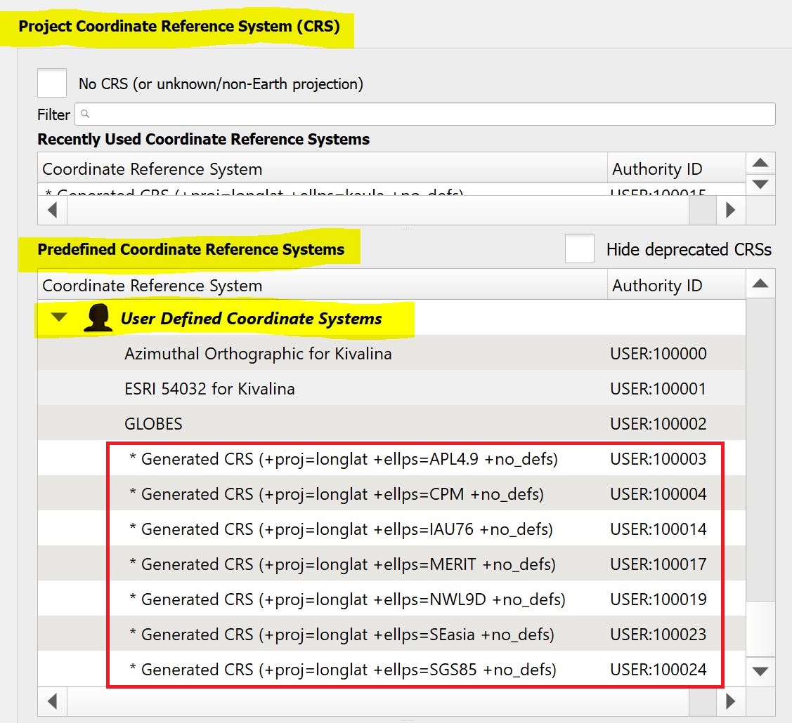
At 3.16.1, when I view the Project Properties > CRS page, I notice 25 user-defined coordinate systems that I don't ever remember creating (within the screenshot red box, below). I can only assume that they arrived by default when I installed QGIS. Why are they there? Can I get rid of them?
2 Answers
These things turn up when you load a dataset with projection data that doesn't exactly match a definition (via WKT or PROJ) that QGIS knows about.
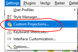
You can delete them via the dialog "minus" button, but if that takes too long...
You can delete them all by opening qgis.db in your current qgis user profile and deleting all rows from the tbl_srs table - you'll need an SQLite database editor or the SQLite command line for this. I don't think this breaks anything but caveat emptor...
% sqlite3 qgis.db
Let's see what we've got - just one:
sqlite> select * from tbl_srs;
100000|test|longlat|WGS84|+proj=longlat +ellps=WGS84 +pm=0.2 +no_defs||||0||GEOGCS["WGS 84",DATUM["unknown",SPHEROID["WGS84",6378137,298.257223563]],PRIMEM["unnamed",0.2],UNIT["degree",0.0174532925199433]]
delete all:
sqlite> delete from tbl_srs;
Then starting QGIS will show no custom projections in the dialog.
You could use an SQL "WHERE" clause to only remove some projections.
-
PS: I do too have them in QGIS LTR 3.10 ... but since they don't bother me, I will just leave them here :-)– JGHCommented Dec 18, 2020 at 20:43


