1

I need to overlap DEM file with an historical map. The historical map doesn't have georeferencing so I need to add some control points, but when I do this the map is distorted.

There is a way to distort only the DEM file so the historical map doesn't change? Can I distort the DEM and keep the map as the original?

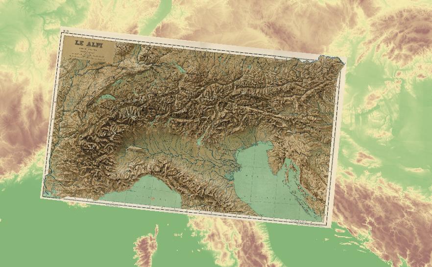
Here's an example: enter image description here

4
  • 1
    Why would you want to distort a correct DEM, how was the historical map was georeferenced, and how were the control points added(referenced from) can you add a screenshot of the historical map. Commented Jan 11, 2021 at 6:19
  • Do you mean historical aerial photography? If this is the case you cannot apply classical georeferencing options to your data since it doesn't have uniform scale at each pixel.
    – Deniz
    Commented Jan 11, 2021 at 6:56
  • The historical map is not georeferenced, here the map: davidrumsey.com/ll/… Commented Jan 11, 2021 at 7:57
  • You could try reprojecting the DEM (to a copy). The linked vintage map has converging longitude lines, your screen shot does not, so they are not in the same projection. That is only one of issues I see.
    – danak
    Commented Jan 11, 2021 at 20:29

0

Your Answer

By clicking “Post Your Answer”, you agree to our terms of service and acknowledge you have read our privacy policy.