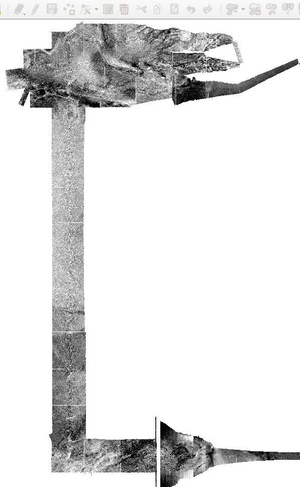
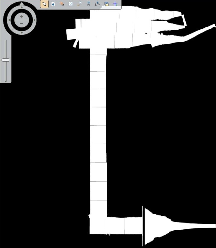
Found it:
- Choose "Metada" (right click -> Metadata)
- Enter the no data value in Edit -> Set/Clear No Data Values -> Set no data (my case -9999)
- Enter the no data value in Edit -> Compute Pyramid Layers/Statiscs -> Ignore Value (my case -9999) and change to 1 in Max Skip Factor X/Y (because I use UTM and meters)
- Right click in 2D View #1 -> Clear View (or Remove Layer)
- Load again the IMG file in the 2D Viewer #1 witn "Open Raster Layer" (this time do not choose "Pseudo Color" in the "Raster" tab) and voilá!
Once that is ready, go to "Adjust Radiometry" in the "Panchromatic" tab (which does not appear with Pseudo color images afaik) and then to "General Contrast". There you can play with the Histogram Equalization, Standard Deviation, Invert, etc etc etc. Don't forget to active Pixel Transparency for a better display of your image.
In case you want to work directly with the original GeoTIFF, just import it in 2D View #1 -> Open Raster Layer -> Your tif (as Gray Color).


