I need to know the extension of the area of a lagoon according to depth classes. I started from a point shapefile containing depth values and used the interpolation plugin and I obtained a raster file. I used the contour function, but I can't convert lines to polygons. I tried the polygonize tool on the raster file, but this function only makes intervals between the polygon of 1,0, whereas I need intervals of 0,5 m.
1 Answer
Reclassify your data using the Toolbox Reclassify by table
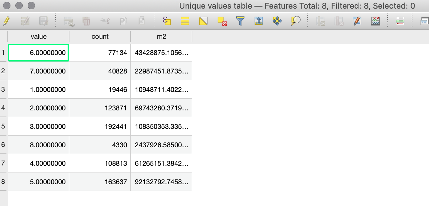
Run a raster layer unique values report
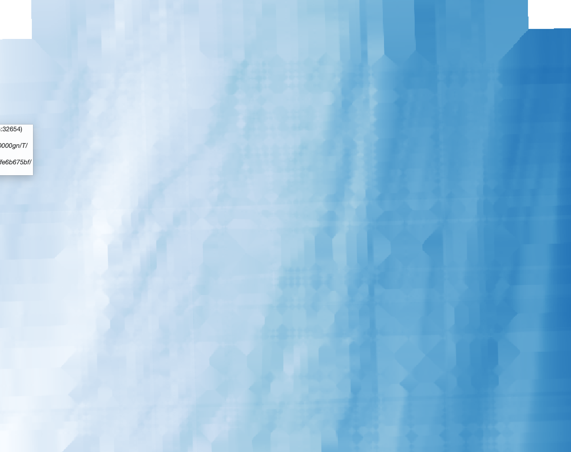
Here's some bathymetry
Classified using ranges - data outside of ranges are ignored. Assign a unique value for each range.
The report on the range - third column has the area in metres.
Confirm that summing the areas gives the same total as the area of the original (unclassified) bathymetry.


