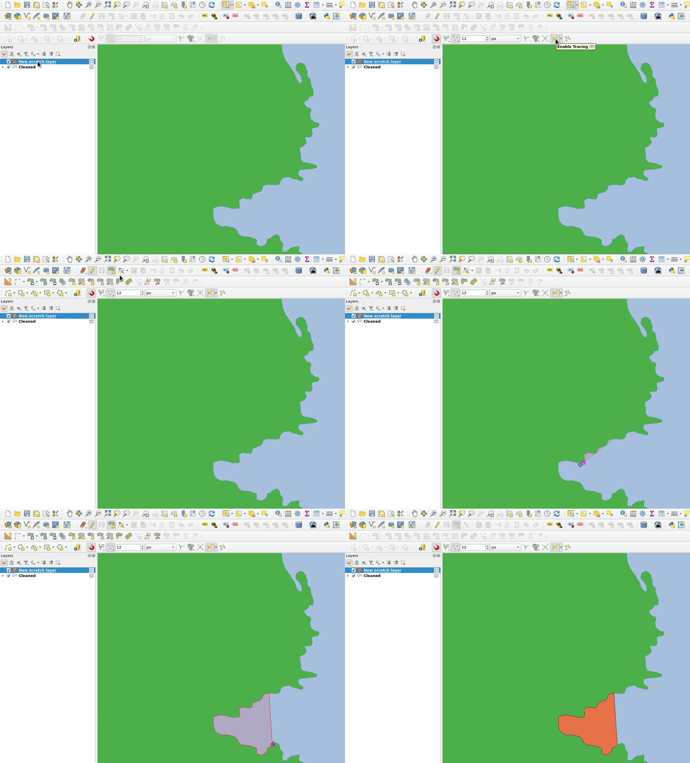
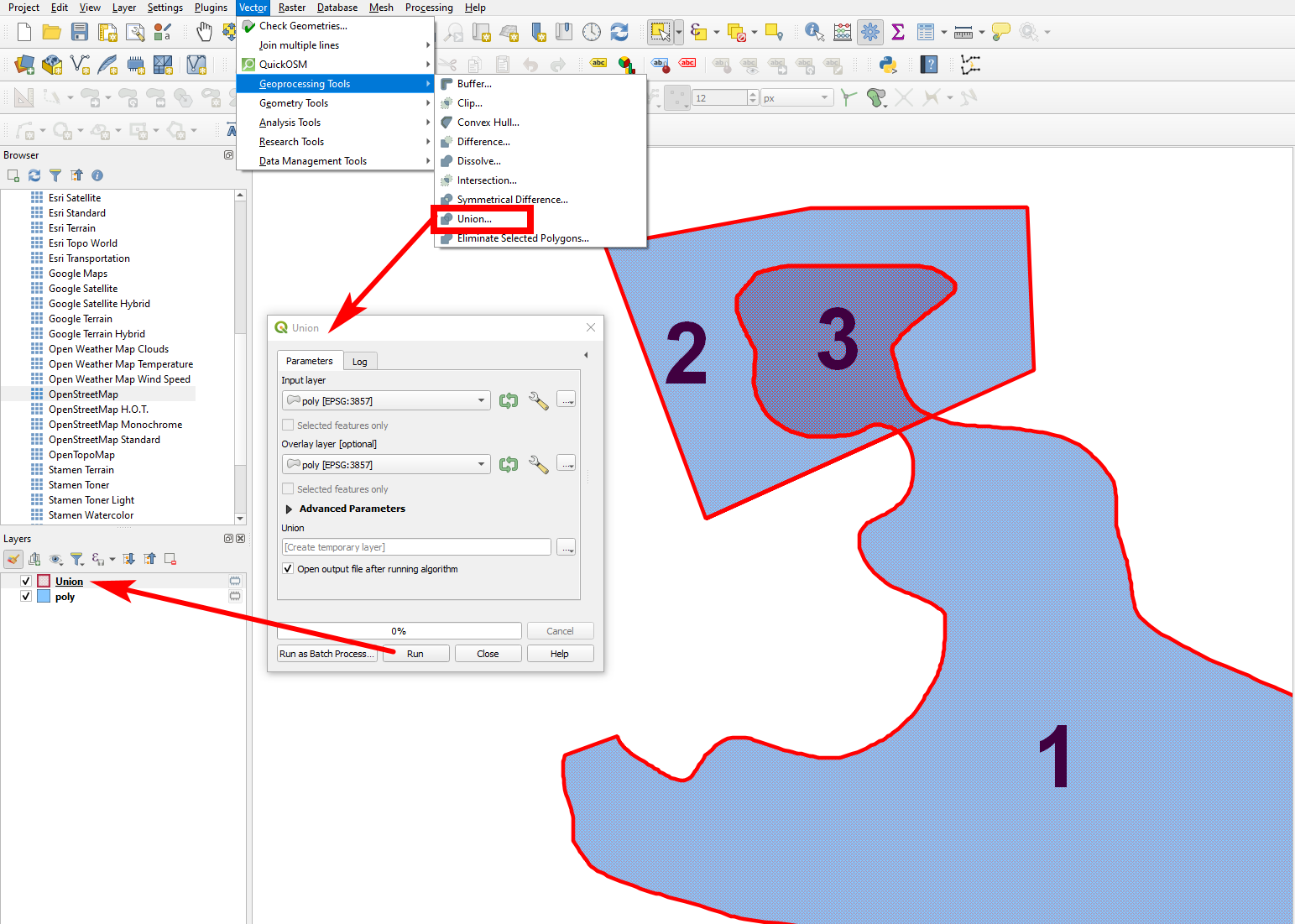
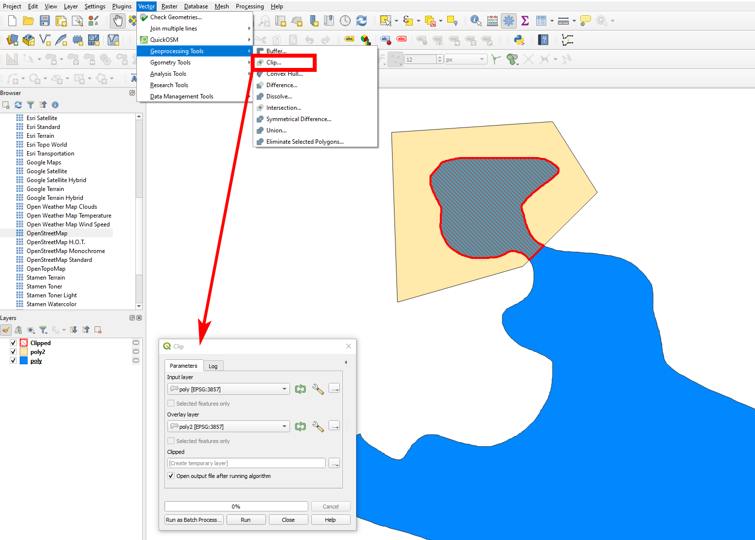
I am novice in QGIS and I am trying to find a way to copy/cut/clip a polygon(coastline) to a new shape and new layer and close the polygon with a straight line. The new shape should contain at least the georeference and the calculated area of the lot.
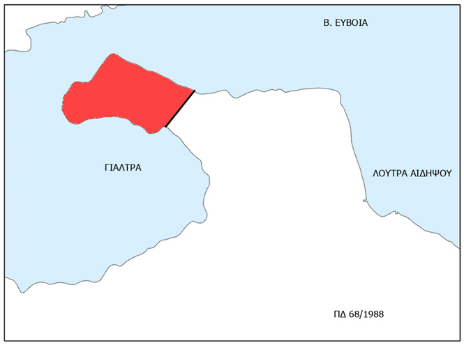
In other words I have to enclose a bay in a new shape but close the bay mouth with a straight line as a new shape(restricted fishing area). This has to be repeated in many geographic areas. With CYAN color is the land and with WHITE is the sea. The RED is the enclosed area banned from fishing.


