3

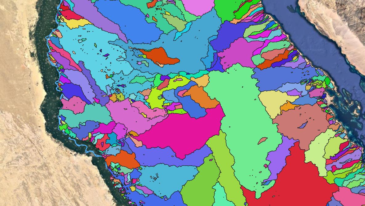
I have drainage basins shapefile, some basins pour water to the east in the Sea and others to the west in the river.

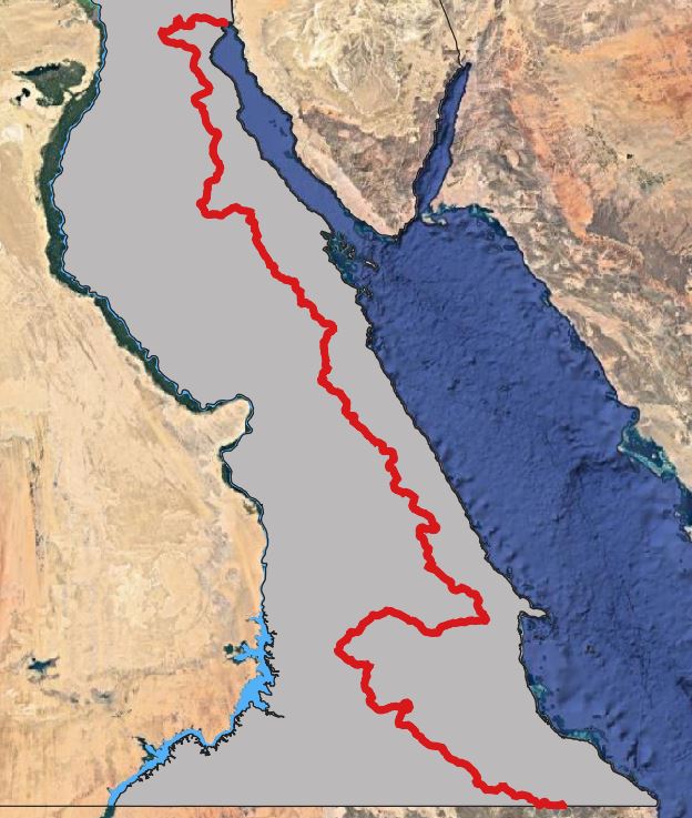
I would like to create the drainage divide line that divides those pouring to the east from those to the west. Just like the red line in the attached picture.

My objective is to get a polygon of the area with a line that run along the polygon dividing the area into to halves; eastern half pour water to the east the other to the west.

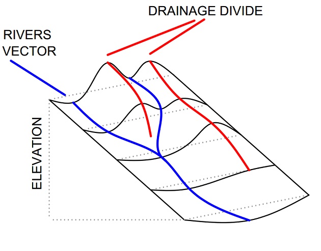
red line

Basins

4
  • Tell us more about the drainage basin shapefile. Does it have any useful attributes to group on? Did you create this layer yourself from Arc Hydro rasters (like flow accumulation and direction)?
    – Brennan
    Commented Jun 13, 2022 at 14:09
  • It was created from DEM using SAGA GIS, attributes are area and ID only. YES, I do have accumulation and direction rasters Commented Jun 13, 2022 at 14:33
  • If those two water bodies eventually meet, and your FAC layer extends that far, you could delineate a watershed for the west channel and the east channel by using pour points just upstream of their confluence.
    – Brennan
    Commented Jun 13, 2022 at 15:04
  • Thank you, I solved my problem when you mentioned flow direction raster. Commented Jun 13, 2022 at 15:58

1 Answer 1

4

So I solved my problem,

I classified the flow direction raster into 2 directions(EAST and WEST) then using the basin shapefile did majority analysis for the flow direction raster.

I end up with a East or west polygons. I then extracted the direction I want and dissolved all the basins to create the divide line I wanted The result is attached enter image description here

Your Answer

By clicking “Post Your Answer”, you agree to our terms of service and acknowledge you have read our privacy policy.

Not the answer you're looking for? Browse other questions tagged or ask your own question.