2

I have a point shapefile that has 1.5 million data points and I want to extract the points that are within in each polygon of a multipolygon.shp file and have separate outputs. Let's say there are 32 polygons in the multipoly file, so there would be 32 extracted point shapefiles.

Usually I would use the Intersect tool in ArcGIS Pro, but that would return a single output file.

What tool I can use in ArcGIS Pro 3 to do this?

1 Answer 1

4

A solution is to spatially join the polygons to the points, this assumes the polygons have a unique ID field. If you are using ArcGIS Pro 3 do not use the new Add Spatial Join tool, use the classic Spatial Join tool as this works with the split by attribute tools.

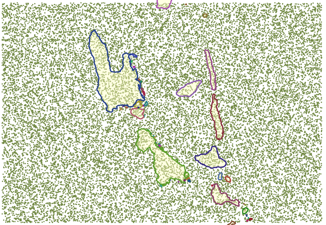
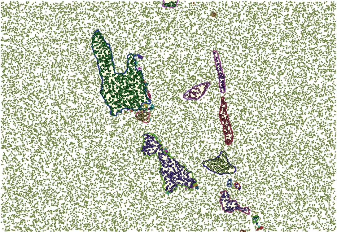
You can then use the Split by Attributes tool to explode out the point dataset into separate datasets, using the unique polygon ID field.

This can be encapsulated in a simple model

Model

Before:

Before

After:

After

6
  • Thank you for the model, so what would be fGDB_Scratch in my case? Commented Jul 25, 2022 at 15:16
  • 1
    That's the name I give my general working file geodatabase. It must already exist and you can call it what ever you like.
    – Hornbydd
    Commented Jul 25, 2022 at 15:21
  • 1
    What formats are your input datasets, if they are shapefiles then have you added a spatial index to them?
    – Hornbydd
    Commented Jul 26, 2022 at 15:15
  • 1
    I just ended up exporting the data to a local SSD (crazy fast) drive and ran the model from there and it took like 5 minutes. Our servers have recently been slow due to Oracle. Commented Jul 26, 2022 at 15:18
  • 1
    12 hours to 5 minutes not bad :)
    – Hornbydd
    Commented Jul 26, 2022 at 15:20

Your Answer

By clicking “Post Your Answer”, you agree to our terms of service and acknowledge you have read our privacy policy.

Not the answer you're looking for? Browse other questions tagged or ask your own question.