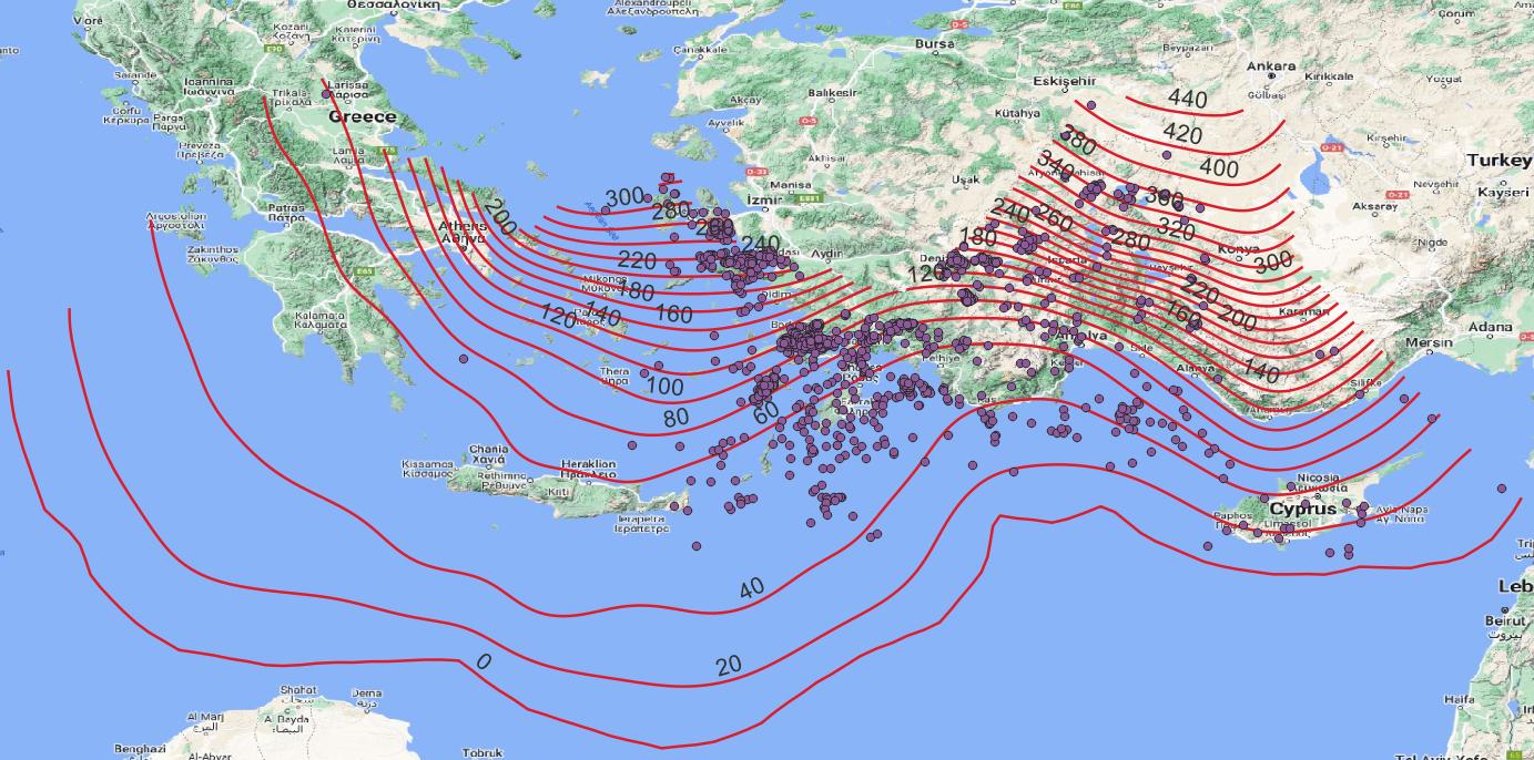
I am trying to find the depths corresponding to purple point locations (given in picture). Depth information is given in contour lines. The main purpose is applying linear interpolation but I don't know how. I extracted the vertices of contour lines and tried to get the minimum distance between every vertice point and every purple point in python to get the first closest contour line and the second closest contour line. Then I could use 3d interpolation between them to find the depth on that location. But as you can expect, it takes long time. Is there any easier way to do that? Preferably in QGIS or Python.
1 Answer
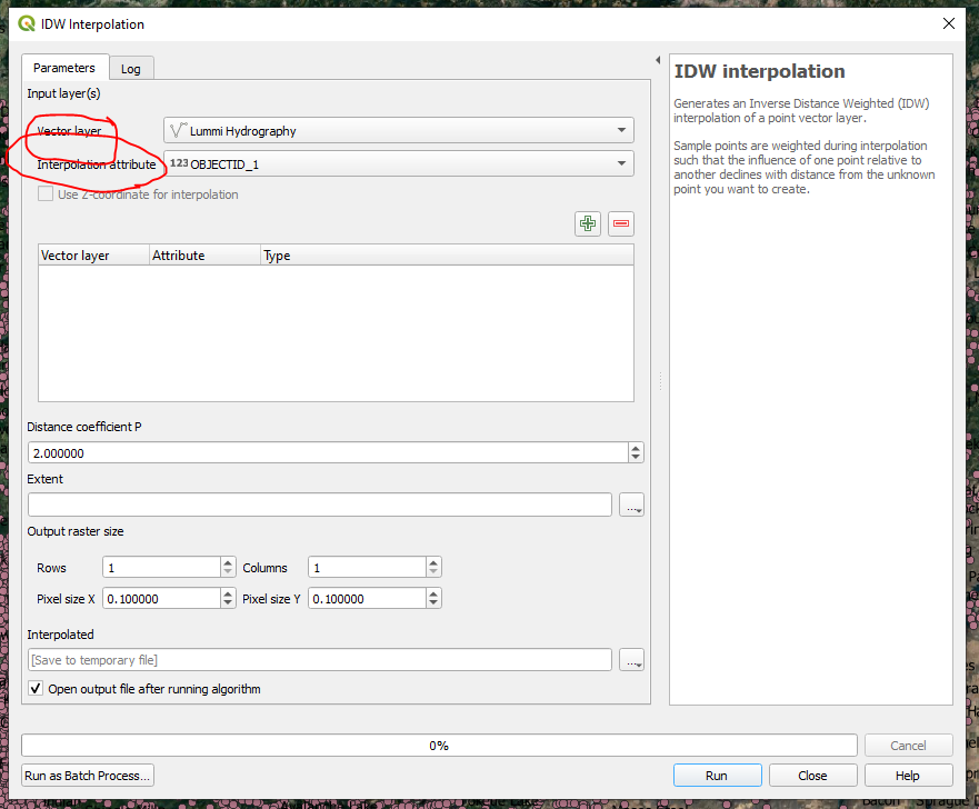
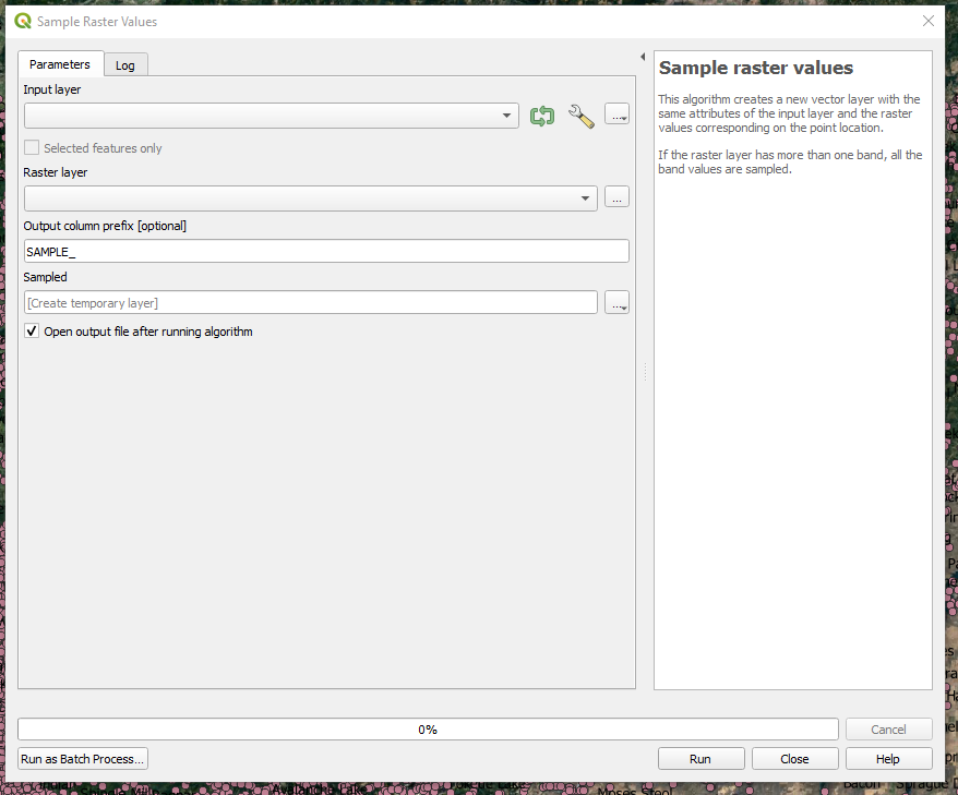
In QGIS open the Processing Toolbox. In the search box type in interpolation. You can choose either a TIN interpolation or an IDW interpolation. For the input Vector layer use your lines. For the interpolation attribute use the column of data that you are displaying on your map. After the interpolation use the Sample Raster Values tool to populate your points with the interpolated values of the output raster.


