I have some point data in a .txt with lons/lats and various measurements at each point.
I try to add the points to my project with All Layer>Add Delimited Text Layer, assign lon/lat to x/y. It apparently adds with no error, and I can tell by clicking 'zoom to layer' that it is in the correct location. (I have a basemap and know where the points should be in relation to the map) However, it does not actually display. I have tried adding different measurements from the table to the Z value. I have tried different symbologies - single symbol, categorized etc. (Categeorized shows values categeorized in the properties but nothing on the map).
I have tried making the file smaller with fewer points in case it was too many to load.
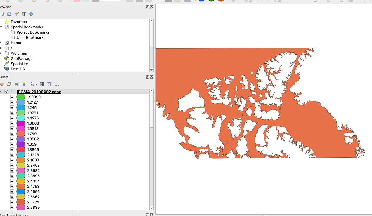
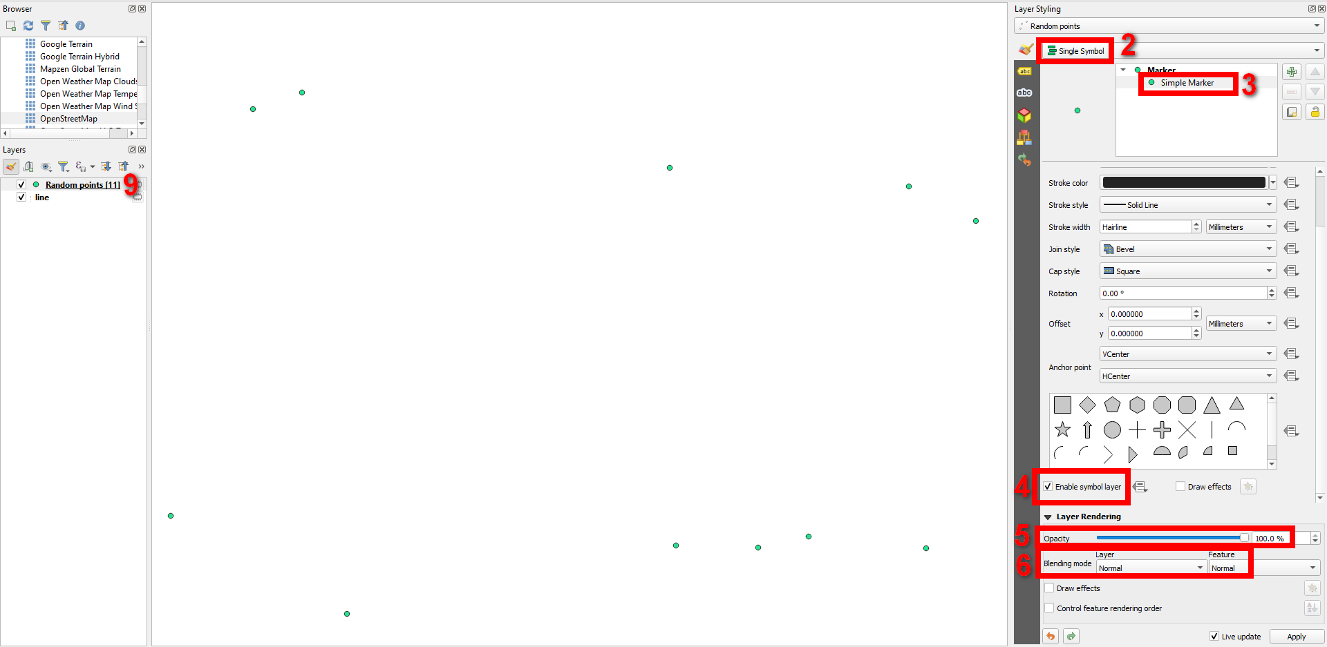
Here is the basemap polygon, the points should show within this area. In this example they are categorized but I have tried 'single symbol' too. Symbol size is 10. Opacity is 100%, blending mode is 'normal'.


Classify? Sorry, without a detailed step-by-step description of exactly what you did (from the moment you loaded the layer) or uploading your date, there could be a thousend diferent reasons for your problem.