I have a set of HDF5 files, and I would like to cut and convert them to tiff files, but I am having troubles with the coordinate reference system. An example file is: "HDF5_LSASAF_MSG_LST_MSG-Disk_201901010600" if I give
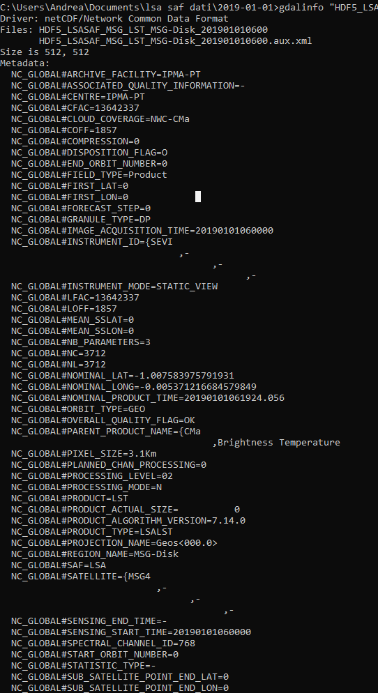
gdalinfo "HDF5_LSASAF_MSG_LST_MSG-Disk_201901010600"
So, if I try to convert it with gdal_translate, returning
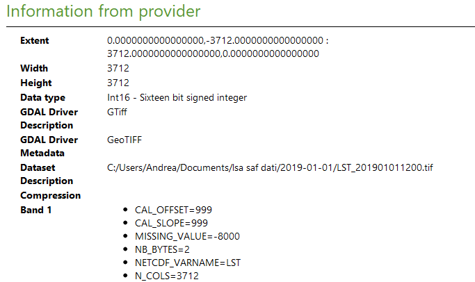
gdal_translate -a_srs "WGS84" -of GTiff NETCDF:"HDF5_LSASAF_MSG_LST_MSG-Disk_201901010600"://LST LST_201901011200.tif
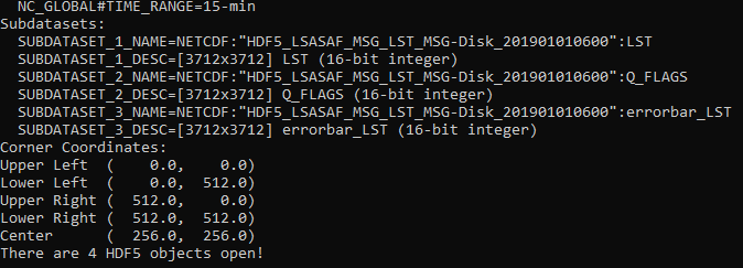
Note that I am forced to write NETCDF: instead of HDF5:. Only with the first option the system recognizes the file as existing. To write NETCDF: come to me looking at the gdalinfo output, which returns
SUBDATASET_1_NAME=NETCDF:"HDF5_LSASAF_MSG_LST_MSG-Disk_201901010600":LST
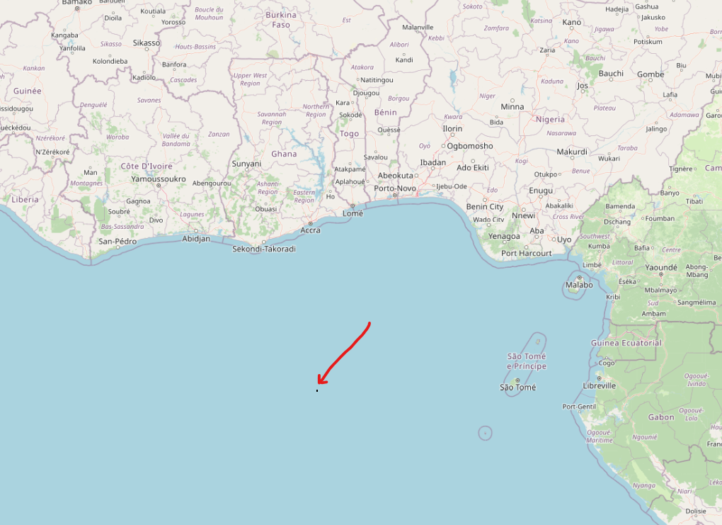
So, I get the tif file, but it has a strange coordinate system. For example, if I try to open it in QGIS, I see this


it seems to be a small square and does not have synchronicity with the OSM standard basemap, although they have the same Coordinate Reference System (CRS), EPSG:3857 - WGS 84 / Pseudo-Mercator.
Does anybody know why this happens?
You can download an example file here.


