Some time ago I came across a QGIS cartographic technique that solved a problem that occurs when detailed vector data is displayed at smaller scales: densely-curving lines become smudged and look darker than the surrounding straight lines. Sinuous rivers and coastlines are common problem areas.
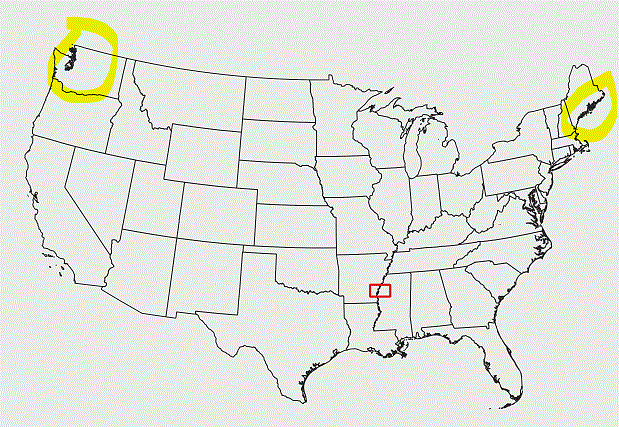
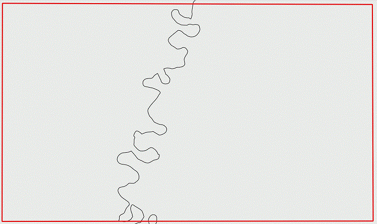
Here's a screenshot that shows some highlighted example areas. The following screenshot shows the detail from the red rectangle.
The technique that I vaguely recall solves this problem without running a generalizing tool, so that the curvy sections display with the same darkness (density? detail?) as straight lines. I've searched the QGIS docs and the internet without success.
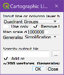
The Cartographic Line Generalization plugin looked promising (even though it is a tool, which I thought the solution did not require), but its input window does not display properly on my 4K screen. I've tried using it as best I can read it, but all results have errors that I can't relate to the plugin window. Unfortunately, the plugin home page has no instructions.
Did I really see this technique, or am I dreaming?

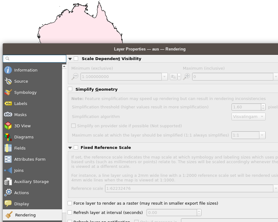
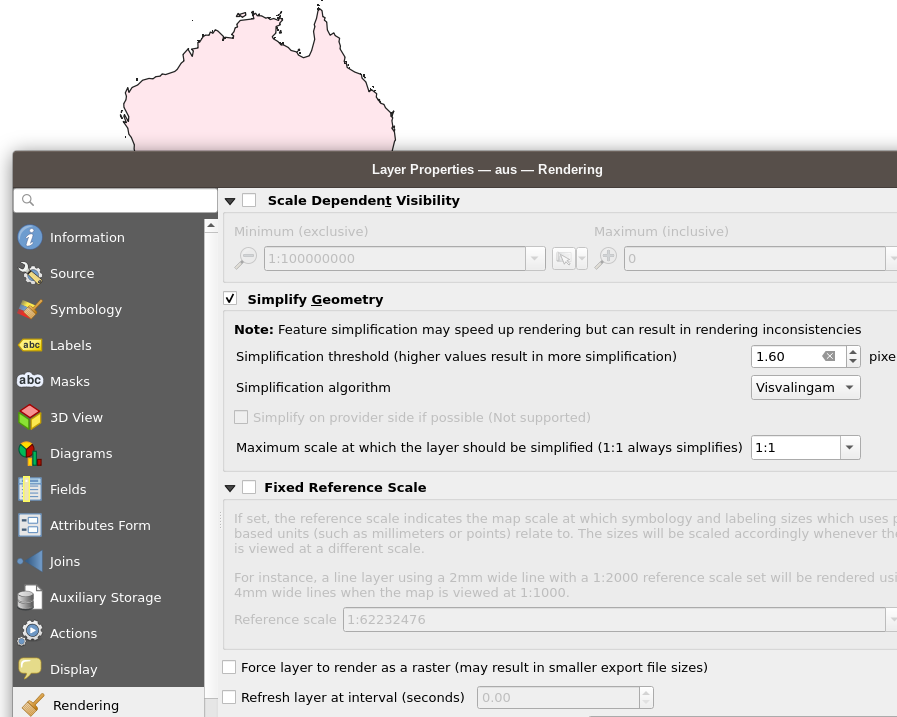
simplify()function with geometry generator (this does not affect the geometry, it's just for visualization).