0

I am trying to derive slope and aspect from a DEM that was derived over a mine using LiDAR in ArcMap v 10.8.1 . However, the DEM seems to be in the wrong location (further North from the Area of Interest). I unfortunately don't have access to the LAS file or the data custodians.

I have tried both the "Project Raster" and "Define Projection" tools to change the coordinate system but the DEM is still in the incorrect location. The current projection is:

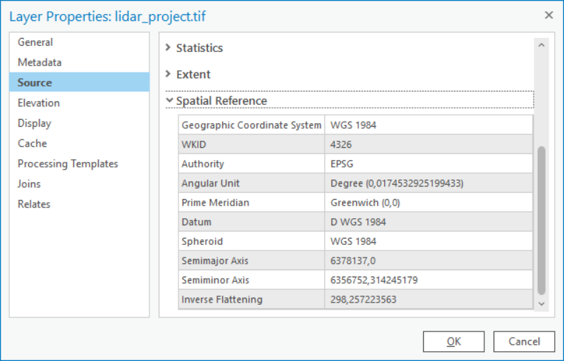
enter image description here

3
  • It's exceedingly difficult to figure out what went wrong in a spatial reference mixup without details about the before and after.
    – Vince
    Commented Mar 15, 2023 at 14:48
  • 1
    Do you know for sure which crs is correct?
    – Bera
    Commented Mar 15, 2023 at 14:56
  • If you feel the dataset is correct maybe your map is in another coordinate system and you have not set the transformation?
    – Hornbydd
    Commented Mar 15, 2023 at 14:58

0

Your Answer

By clicking “Post Your Answer”, you agree to our terms of service and acknowledge you have read our privacy policy.

Browse other questions tagged or ask your own question.