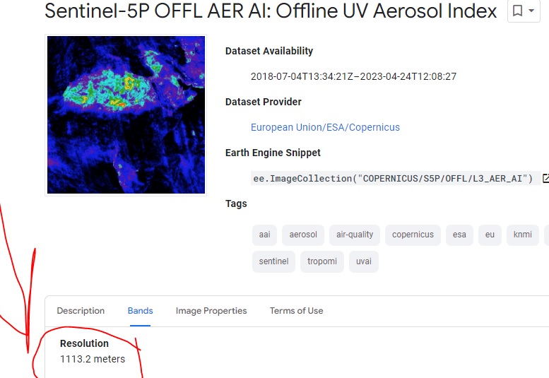
In Google Earth Engine, Sentinel 5P, Sentinel-5P OFFL AER AI: Offline UV Aerosol Index page has written the resolution is 1113.2 meters. When I checked the image properties it is mentioned that the spatial resolution for most products is 3.5x7km2. I am confused about these two resolution. What is the difference between these resolutions?
1 Answer
Earth Engine converts original L2 data to L3 images using a grid with the pixel size somewhat smaller (1 km) then the actual resolution of the data (3.5x7km) to avoid data loss.

