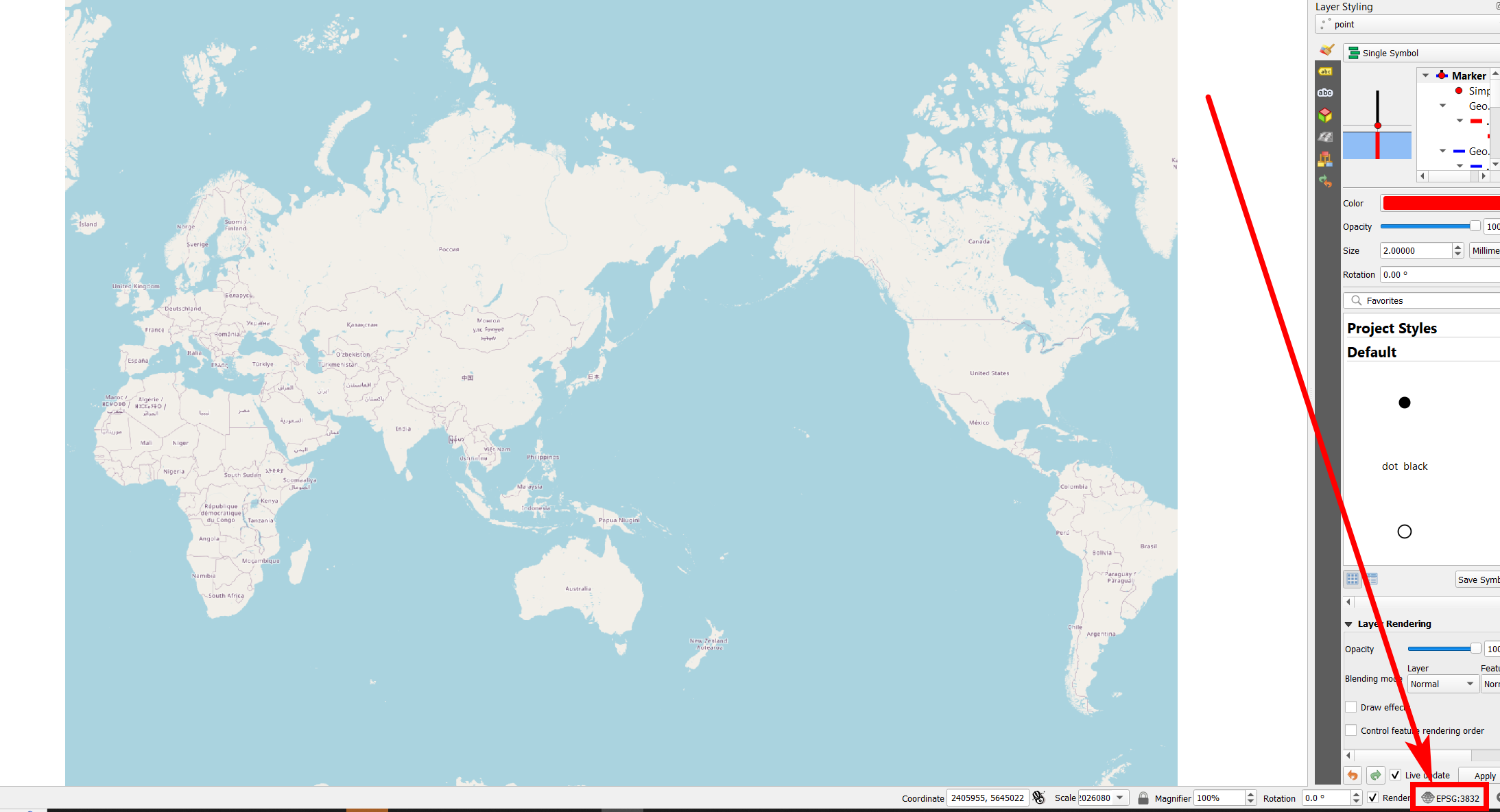
I have a researcher looking for a basemap like OpenStreetMap, but showing the Pacific at the center. They want to overlay the Ring of Fire, and then show the Out-of-Africa migration.
The migration part can probably be done in any image editing software, once the overlays are done. Can this be done in something like QGIS?

