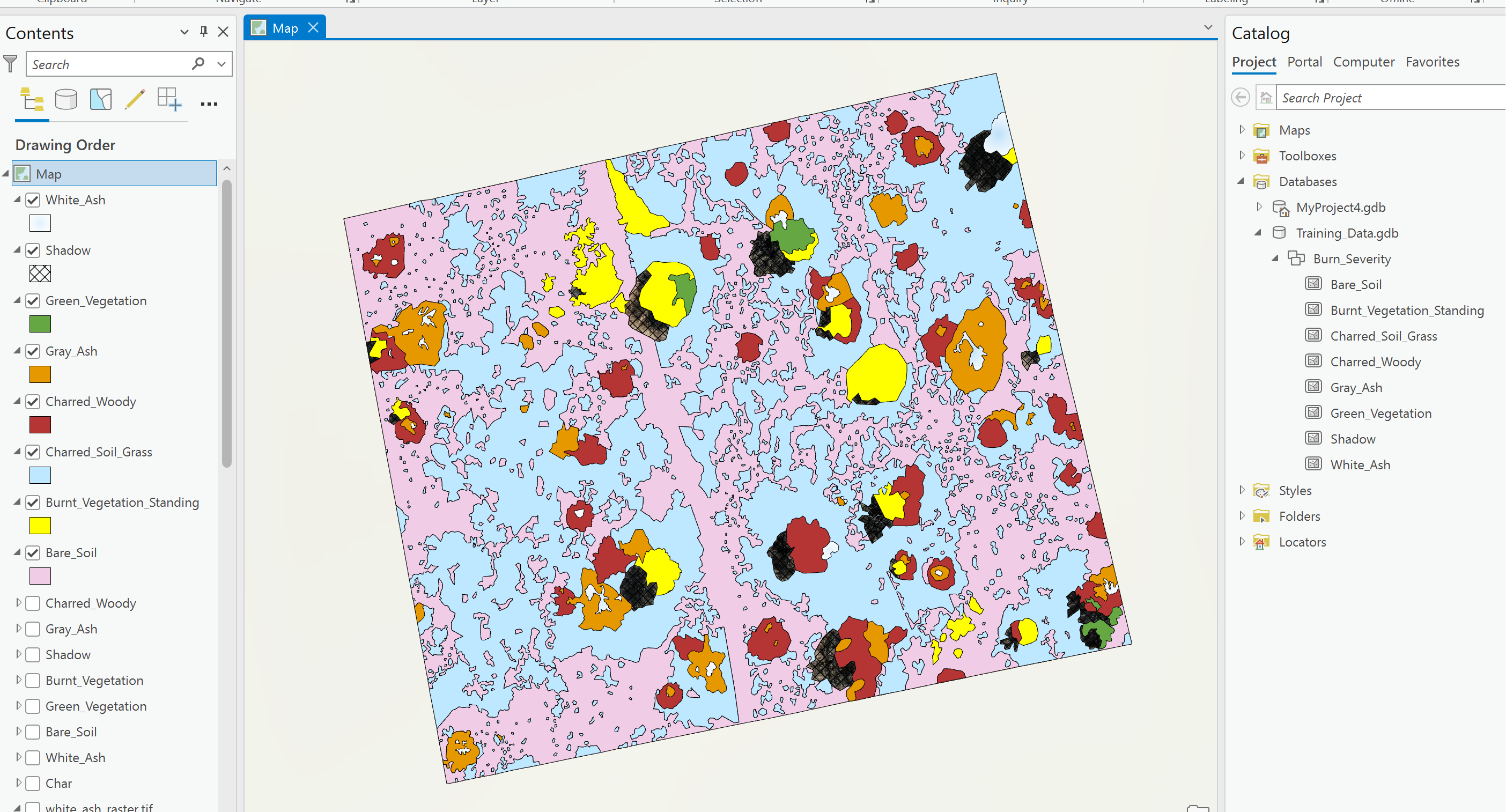
I have been manually digitizing drone imagery to create a training data set for different land cover classifications. I have created a feature class dataset and digitized my different land cover classes, but cannot for the life of me figure out how to stitch these together so I can export it as a singular dataset/training image.
I have tried merge which did not maintain the land cover classes and then tried converting each shapefile into a raster and stitching the rasters together using the mosaic to new raster tool. None of these options have successfully created a singular image where the land cover classes are maintained separately. I know there has to be an easy solution to this that I am overlooking, but GIS is not my strong suit and I am having a difficult time.
Any suggestions? I have included a picture of my digitized image and land cover classes below.

