1

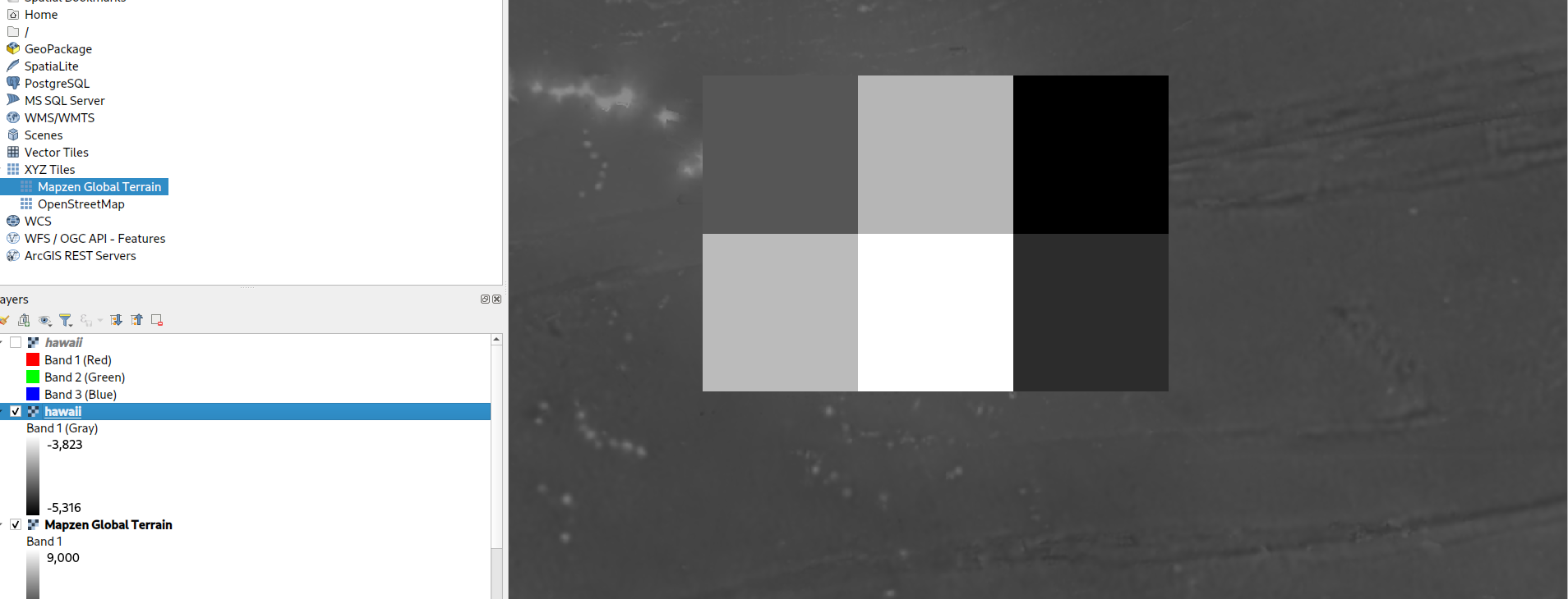
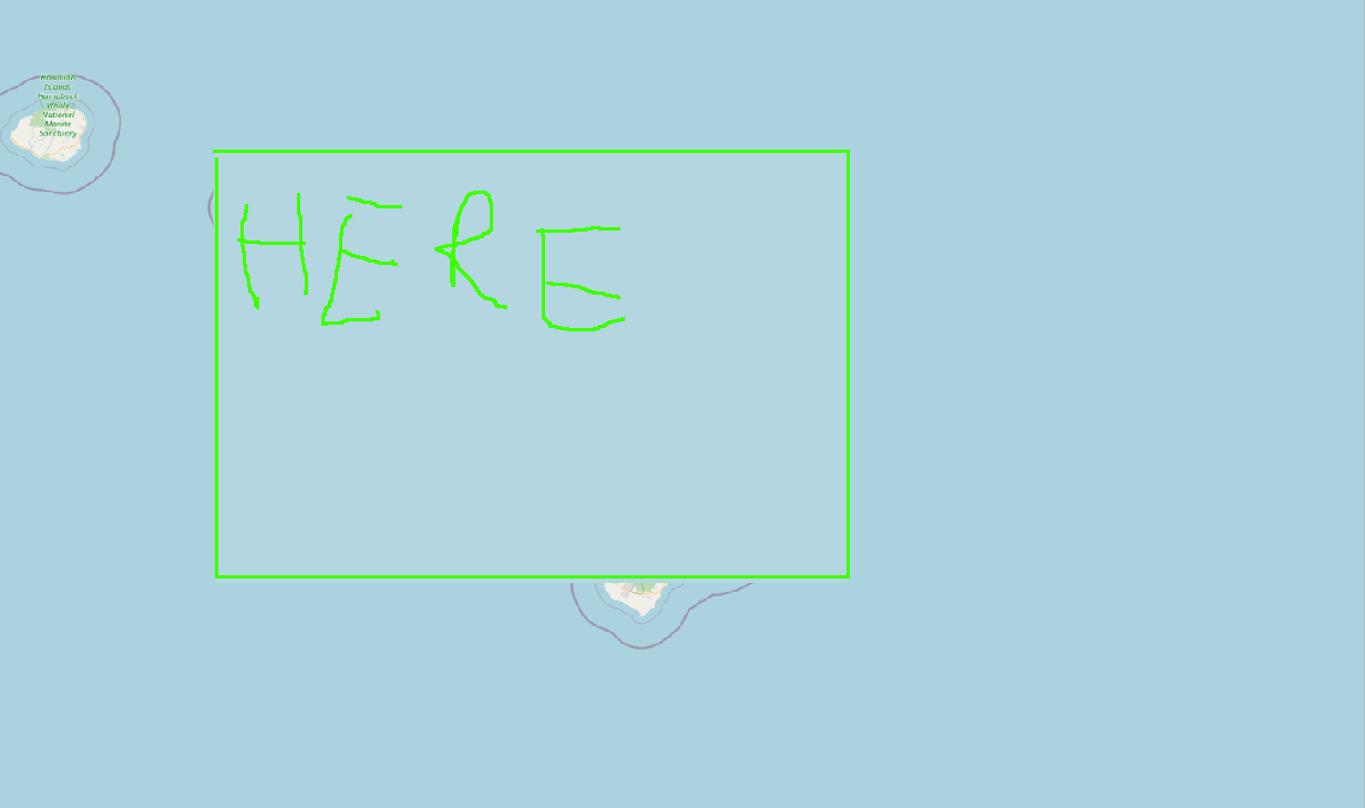
I want to extract the topology of the island is Hawai'i but when I try to do it, I get simply and empty rectangle:

enter image description here

I opened OSM in XYZ tiles and press the right mouse button on the layer of OSM export -> save as I clicked map canvas extend and checked off Create VRT (if I leave create VRT check then I get Cannot write raster. Error code: destination provider).

I did the same with Mapzen global terrain and got (with Create VRT check or not checked, doesn't matter):

enter image description here

How do I export the topology of Hawaii with the contour lines and so on from OSM (or some other map provider)?

3
  • Do you want a picture of the topology (with contours and coastline etc) or the actual data as raw height values?
    – Ian Turton
    Commented Nov 28, 2023 at 8:03
  • @IanTurton a tiff file that has both I guess. An image that has this information embedded in it I'd say. Commented Nov 28, 2023 at 12:54
  • 1
    I think you mean topography, not topology
    – Llaves
    Commented Nov 28, 2023 at 15:09

0

Your Answer

By clicking “Post Your Answer”, you agree to our terms of service and acknowledge you have read our privacy policy.

Browse other questions tagged or ask your own question.