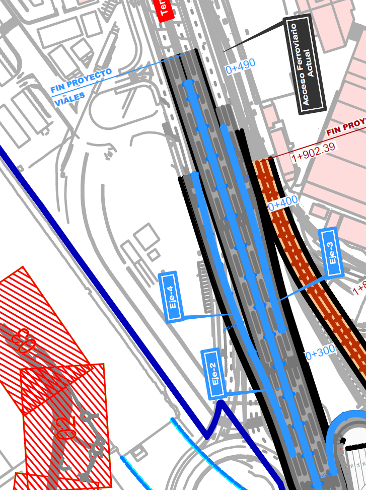
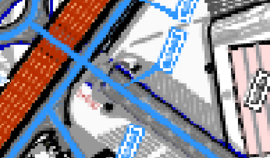
I have a PDF which I want to georeference. I am using QGIS 3.28 and have gone to Layer > Georeferencer. However, when I load in the PDF that I want to georeference there is SIGNIFICANT resolution loss (see the images below for reference). How do I sort this as I need the map to be of high resolution?
-
3Assuming the second image is what you see in the Georeferencer window, before you even apply a transformation and load the resulting geotiff into QGIS, keep in mind QGIS will always flatten any vector PDFs to images before loading them in Georeferencer. If your original PDF page size is small, the flattened PDF will look unacceptably pixelated when zoomed in. Consider exporting the PDF to a larger page size– she_weedsCommented Jan 3 at 7:42
2 Answers
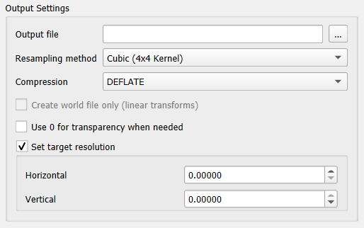
In the Output Setting box, make sure to fill in your required image resolution (in pixel dimensions) in the same units as the destination georeferenced file. If the image is in geographic degrees, you'll have to calculate more or less your required resolution.
Additional resampling and compression options may create a clearer image
To achieve a higher resolution, you need to set the system variable GDAL_PDF_DPI to 300 or higher (i.e. Windows Command Line: set GDAL_PDF_DPI=300). Default is 150.
If you like to create a virtual image (VRT) instead of a GeoTIFF and crop the result as well, you can try my QGIS Plugin Georeferencer Extension: https://github.com/cxcandid/GeorefExtension (also available in the QGIS Plugins repository)


