ArcGIS Pro 3.2
When using geoprocessing tools, the field map has options such as:
First- The first field valueLast- The last field value
https://pro.arcgis.com/en/pro-app/3.2/help/analysis/geoprocessing/basics/field-map.htm
How does Pro determine what is "first" or "last"? Is it based on object ID?
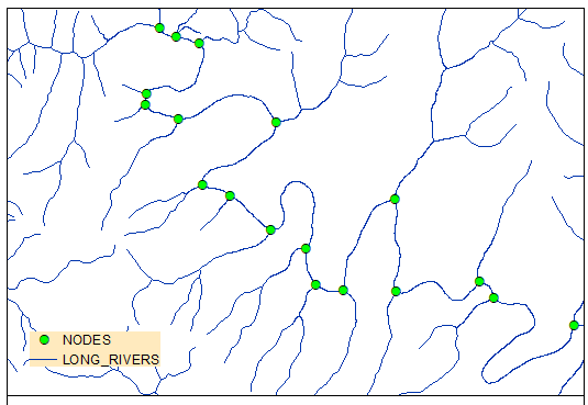
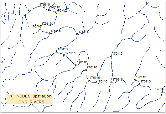
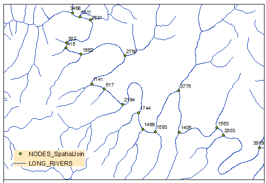
For example, a spatial one-to-one join with point and polygon where a point lands on the boundary of two polygons. The spatial join will assign attributes from one of the polygons that it determined was "first" or "last".
Added context if it's important: Sometimes I use a PostgreSQL database, sometimes I use a file geodatabase.
Added clarification: I'm not providing a First or Last option for someone to choose. I leave the default as First during my process. I'm just curious conceptually about these two options since they have similar descriptions and I've been asked how I got my results.


