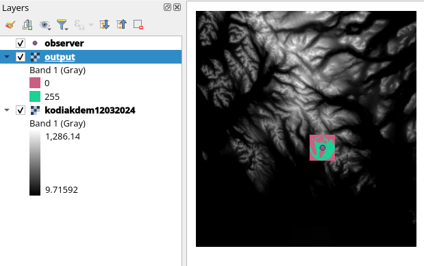
I've been experimenting with running Viewshed analysis in GDAL (Using Command Line Interface). And I'm able to run it more or less accurately, however, no matter what value I enter for "-md" the resulting viewshed raster is always the same size as the DEM used. I've tried a couple different DEMs and keep getting the same issue.
This is the code I've used
gdal_viewshed -ox -152.55862 -oy 57.754465 -oz 200 -tz 1.0 -md 5000.0 -f GTiff -cc 0.85714 kodiakdemwarp12032024.tiff outputtest5.tiff
I've tried this with multiple -md values ranging from 100 to 10000 and the appearance of the output geotiff is identical regardless.
Source DEMs and output file can be found here

