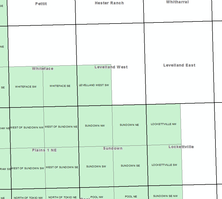
I downloaded a shapefile of USGS DOQQ boundaries a few years ago and cannot seem to find one now. The attached image shows an example of the shapefile I'm looking for (green polygons showing the quarter quad boundaries). Where can I download a shapefile covering the contiguous USA that shows USGS DOQQ boundaries with relevant attributes?
2 Answers
The USDA Data Gateway has layers available for 1:12k quad footprints. Not sure if you can fetch the whole U.S. or not, but you can get them by state. Also, you can drag a custom AOI onto the map and get some pretty big chunks it looks like.
-
1This is exactly what I was looking for. For the record, I was able to download a 12K DOQQ boundary shapefile for the entire western USA. Thanks.– Aaron ♦Commented May 8, 2013 at 1:31
You can get the indices from The National Map in pretty big pieces, it won't let you download the whole country at once but it wouldn't be too terrible to download 4-5 large pieces and then stitch them back together. Well, it shouldn't be...
The index that I have is from ESRI, from the metadata it looks like it shipped with the map data package they used to sell as an add on to ArcGIS (perhaps they still do). I've also seen some state agencies distributing nation-wide quad indices - try your local(ish) BLM or Fish and Wildlife website, they are often good stores of spatial data.
-
Kevin is correct that some states, Maryland for example, distribute the 12k quarter quad (aka 3.75 minute quad) index for the state. If your study area isn't larger than a few states, you may get lucky that those states distribute the data.– user3461Commented May 8, 2013 at 1:37