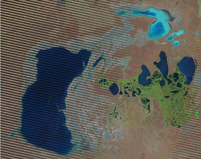
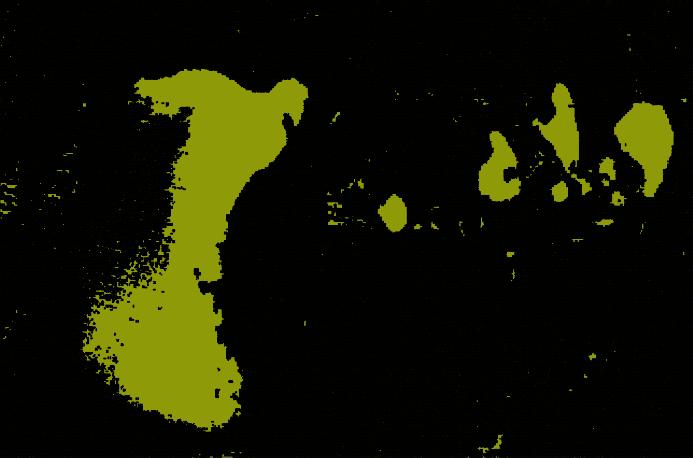
I need to find size of water area from a raster (jpg) using QGIS 1.8.0-Lisboa. The raster is a Landsat image with gaps of data in it. 
I used Polygonize, but the output file shows wrong polygon size exactly where the gaps are. 
Is it because of the gaps in the image? Is there any other way to find size of water from the raster?
Also, after installing QGIS 1.8, Grass 6.4.3 doesn't open. Can not find an answer why?
