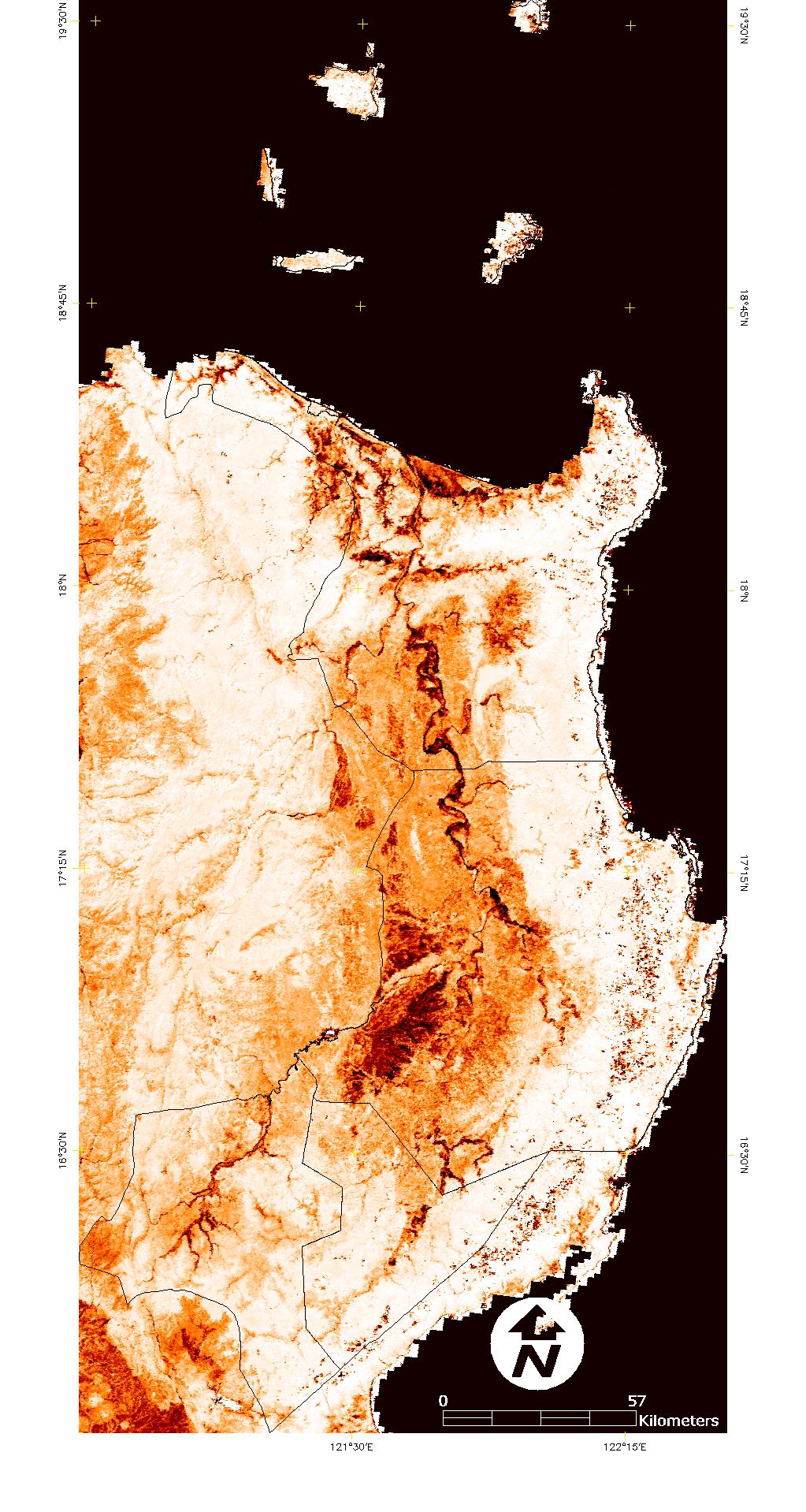
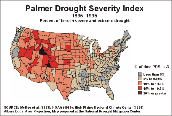
I want to map out moisture availability using satellite image but I do not know how to convert the raster image to a thematic map with limiting boundaries like state boundaries.
I am using ArcGIS 9.3 and ENVI 4.3.
An example of expected result is shown in a link provided below. I have satellite image who follows the same color gradient and I want the image to be displayed in shapefiles according to certain boundary shapefile.
http://www.drought.unl.edu/dm/monitor.html
EDIT
I have posted a sample MODIS image here and a sample expected result of a drought map accessed from UNL.edu.


So, I am not sure about the classification. Please do enlighten me on this matter.
