1

I'm currently working with several datasets in QGIS that lay 100% perfect when I match it on Google Earth using its inter-app plugin.

However, when I load administrative regions from GADM, the entire data is off towards the left. I've tried several CRS projects, but it won't align.

What is the fix around this? I used this some time ago, and everything was okay. I'm not sure what the problem is now.

The discrepancy is 300-m going west. The GADM layer is the green layer, while OSM data are the lines.

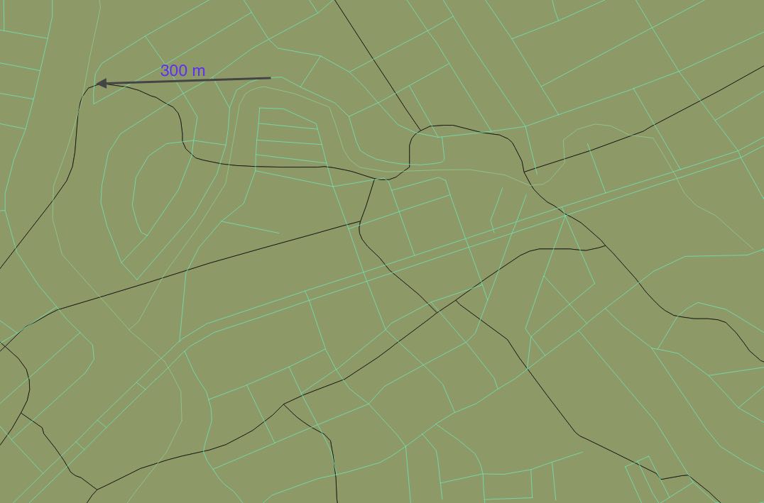
Discrepancy of about 300m according to the QGIS ruler tool

3
  • Can you add how large the offset is? Meters, kilometers, or more? Coordinates in degrees or meters? Which CRS?
    – AndreJ
    Commented Jul 12, 2016 at 6:03
  • Which GADM file are you using, and what project CRS have you chosen?
    – AndreJ
    Commented Jul 13, 2016 at 5:58
  • @AndreJ The Philippines data. In QGIS, the default settings is WGS84, and the layers from Openstreetmap are in WGS84. When transposed to GE via plugin, its the openstreetmap data that's aligned, and not the GADM data. Even when I open a new project and load the GADM data, and transpose it to GE, it's still off.
    – wearashirt
    Commented Jul 13, 2016 at 14:41

1 Answer 1

1

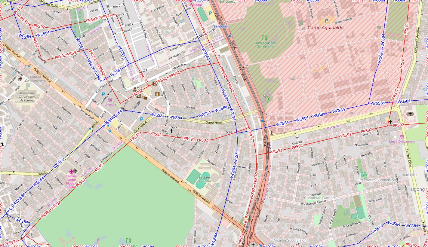
Comparing the GADM dataset for the phillipines with an Openstreetmap background, I agree that the GADM dataset is totally off. Trying the local datum of Luzon 1911 or PRS92 does not fit better:

enter image description here

Luzon and PRS92 (in red) are identical. The borders shoud follow the great roads, as seen in the OSM background as dotted lines.

You can use the VectorBender plugin to align the GADM shapefile, or take an extract from Openstreetmap with the boundaries they have. https://osm.wno-edv-service.de/boundaries/ or http://download.geofabrik.de/asia/philippines-latest.osm.pbf deliver OSM data. You need an account for the first source.

See also https://lists.openstreetmap.org/pipermail/talk-ph/2011-May/003255.html on the accuracy issue.

2
  • Thank you so much for the tips, @AndreJ. I have tried openstreetmaps' boundaries, but labeling and the specific polygon have some issues.
    – wearashirt
    Commented Jul 13, 2016 at 17:47
  • Fell free to ask a new question about that...
    – AndreJ
    Commented Jul 13, 2016 at 17:56

Your Answer

By clicking “Post Your Answer”, you agree to our terms of service and acknowledge you have read our privacy policy.

Not the answer you're looking for? Browse other questions tagged or ask your own question.