I'm currently working with several datasets in QGIS that lay 100% perfect when I match it on Google Earth using its inter-app plugin.
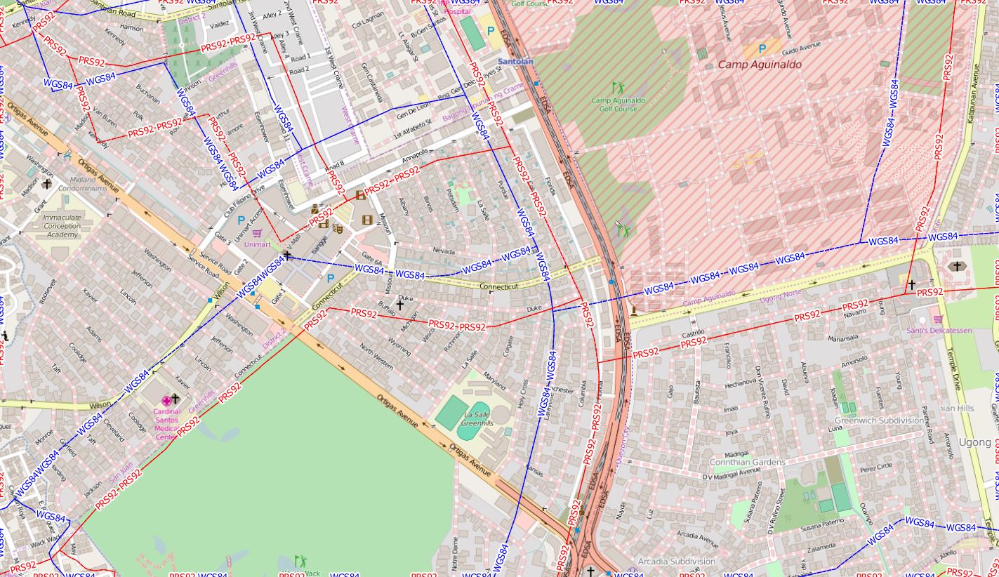
However, when I load administrative regions from GADM, the entire data is off towards the left. I've tried several CRS projects, but it won't align.
What is the fix around this? I used this some time ago, and everything was okay. I'm not sure what the problem is now.
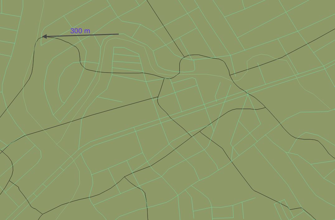
The discrepancy is 300-m going west. The GADM layer is the green layer, while OSM data are the lines.


