0

enter image description here

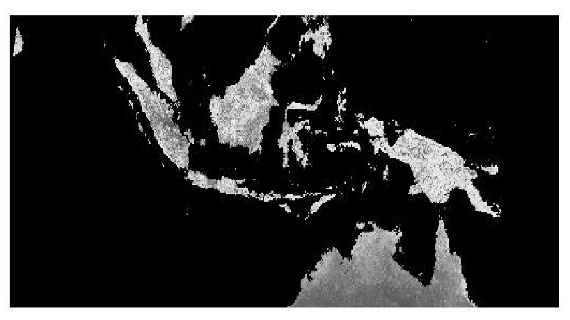
i just follow the step to change .hdf file to geotiff file from this site http://duncanjg.wordpress.com/2012/12/11/loading-modis-ndvi-time-series-into-postgis-raster/#comment-1214

and i use data from http://reverb.echo.nasa.gov/reverb but, why my tiff just grayscale mode (black white)?

so how can i get color mapping?

1 Answer 1

1

If you have a one-band-dataset, it will be displayed as grayscale as default.

You can change that to any kind of pseudocolour, depending on the software you use.

To get real colours, you need either 3 band data with red-green-blue colour interpretation, or paletted colours.

0

Your Answer

By clicking “Post Your Answer”, you agree to our terms of service and acknowledge you have read our privacy policy.

Not the answer you're looking for? Browse other questions tagged or ask your own question.