2

I am using the Georeferencing tool in ArcGIS 10.2 to georeference a normal JPEG image. I want to produce a georeferenced Progressive JPEG image from that image, but there is no JPEG Progressive option in the Rectify window dialog:
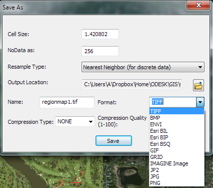
enter image description here

It seems ArcGIS has the capabilities to produce Progressive JPEG, just not through the georeferencing toolbar. Rather, it can produce a Progressive JPEG by exporting the map to an image through File - Export Map:
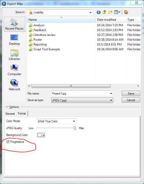
enter image description here

Exporting my georeferenced image to a Progressive JPEG through Export Map would be cumbersome and maybe cause loss of image quality.

Do you know any workaround to this?

1 Answer 1

1

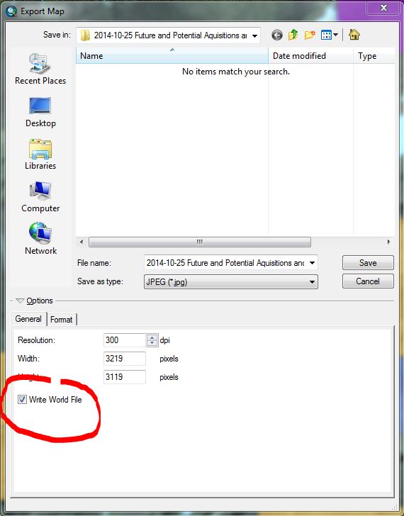
Export the image from Data View. Check the Write World file in the general tab. There you can also control the image output resolution and size. Image quality of the output will be compromised either way because you have georeferenced the image and thus altered/warped or stretched the original pixels. Work out the outptut size and resolution that closely matches the original or larger. Works fine IMO. enter image description here

2
  • + 1 but wouldn't the Export Map tool create a white margin around the JPEG image? It does on my side. Commented Oct 28, 2014 at 18:23
  • If you zoom out beyond the image extent then it likely will. If the jpeg completely fills the data view window then it will not. After georeferencing, depending on what method you used, the original jpeg will be distorted and no longer retain the original shape, however the exported referenced image will be rectangular. In any case it is impossible to avoid the margin unless you zoom in enough to fill the frame, You can control the colour of the background on export. You could try to export to PNG, then make the solid background transparent in Photoshop. Have not tried this. Commented Oct 28, 2014 at 18:47

Your Answer

By clicking “Post Your Answer”, you agree to our terms of service and acknowledge you have read our privacy policy.

Not the answer you're looking for? Browse other questions tagged or ask your own question.