There may not be a 'better' or 'easier' way to do what I'm asking, but I figured I'd give it a shot and ask around.
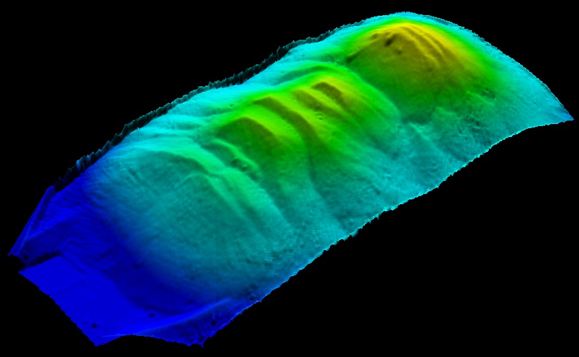
I'm using Quick Terrain Modeler v8.0.3.4 (x64) and have used the ZEB1 Handheld LiDAR wand to create a cloud point dataset. As can be seen from the images, the scan is from a storage unit that holds salt. My end-state is to use the "Volume Calculation Analysis" tool in QTM in order to determine how much salt is in this (and any other) particular unit. I have successfully done this, my question however is:
"Is there an easier way to remove LiDAR points that are not pertinent to the volume calculation?"
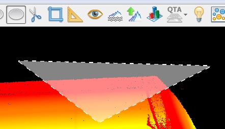
For example, the way I did it was by using the 'Polygon (Screen)' tool, selecting points that were not salt, and then using the 'Cut' tool, repeat, etc. This is a very tedious process and certainly not an extremely effective way to go about obtaining or achieving the same results every iteration.


