SO, in QGIS I have several points with 1km buffers around them; some of the buffers overlap. Within the buffers are a number of ponds, which I have a shapefile for. I want to calculate the area of pond within the buffers, but if one pond is covered by overlapping buffers, I do not want the area counted multiple times, which is the issue I'm dealing with right now. Can this be done? Creating an intersect shapefile then adding geometry columns counts overlapped ponds multiple times.
1 Answer
When you run the buffer tool there is an option to "Dissolve Buffer Results". If you check this box then any buffers that overlap should be merged into one common feature. Therefore when you calculate the area of the pond that intersects the buffer it will only intersect one feature and not two overlapping features.
Update:
Hi Vito, in regards to your comment below I'm not sure why you would want to add a geometry column. To clear things up, the workflow I would use would be:
Create a buffer layer from your points as outlined above;
Find the intersect of the buffer layer and your ponds layer;
Project the intersect layer to a projected coordinate system;
For this intersect layer open the attribute table and select Toggle Edit Mode, then Field Calculator;
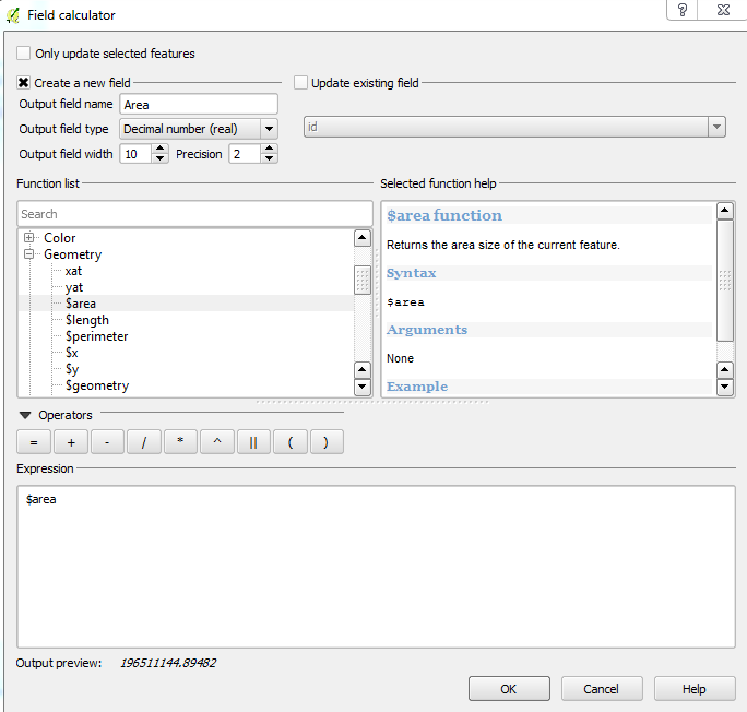
In the field calculator create a new decimal field called Area and from the function list choose Geometry, $area. Click OK;
 You should now have an an Area field showing the area for each feature in the units of the layer projection. Therefore to ensure this is square metres (or square feet), you should use a projected coordinate system (hence step 3).
-
1Hmm when I do that the attribute table comes out blank and I can't add geometry columns :/– VitoCommented Jun 26, 2015 at 18:27
