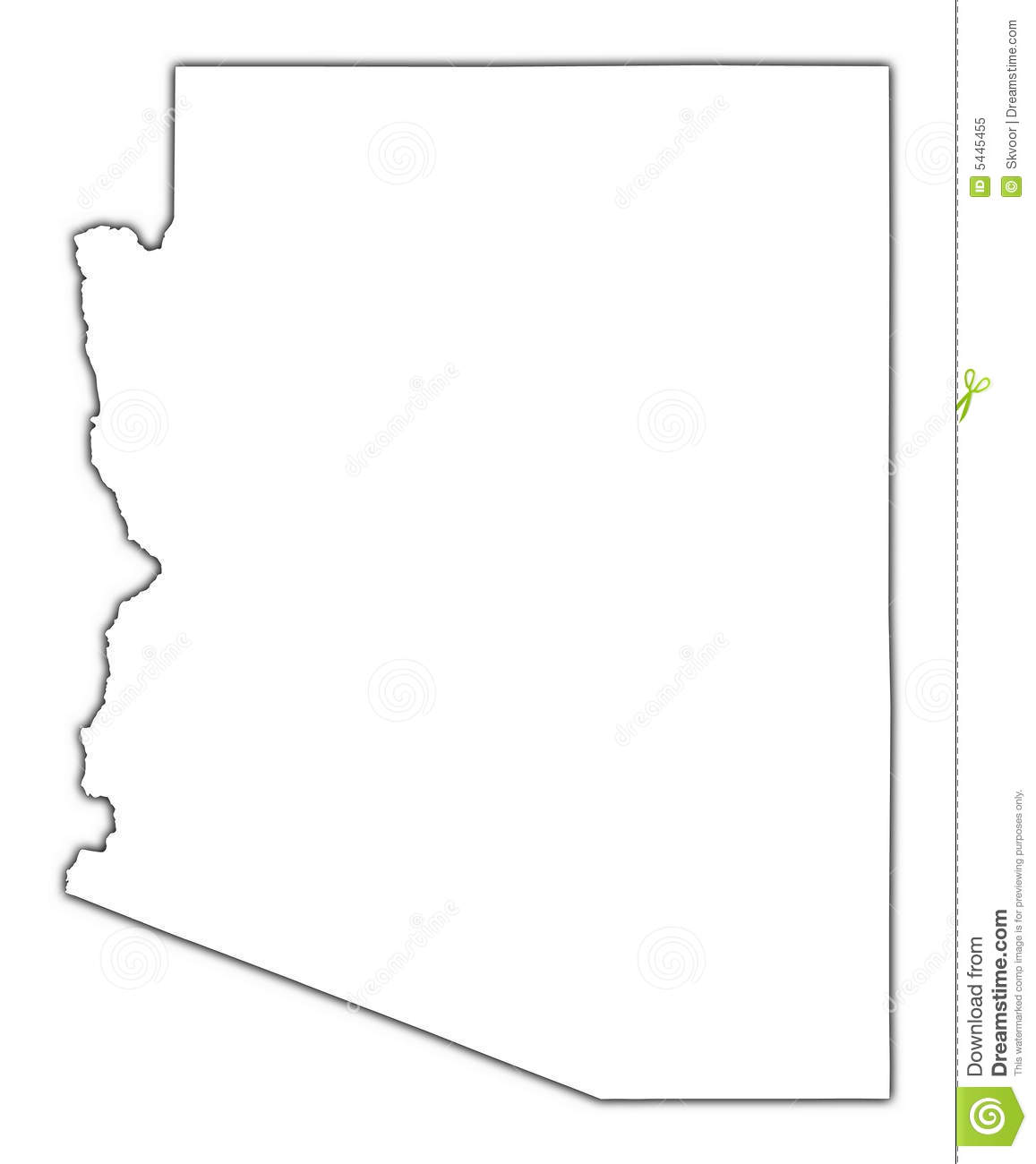
I am having issues projecting my AZ state boundary from looking like this:
to looking like this:
I found that I could use the U.S. National Atlas Equal Area to get the shape I want, but when I try to project my Arizona Boundary Shapefile, a good geographic transformation doesn't show up.
What is a good coordinate system that I can use as a projection to get my desired shape? For the record, the first shape is GCS_NAD_1983. I'm not sure what the second shape is.
I am using ArcMap 10.3


