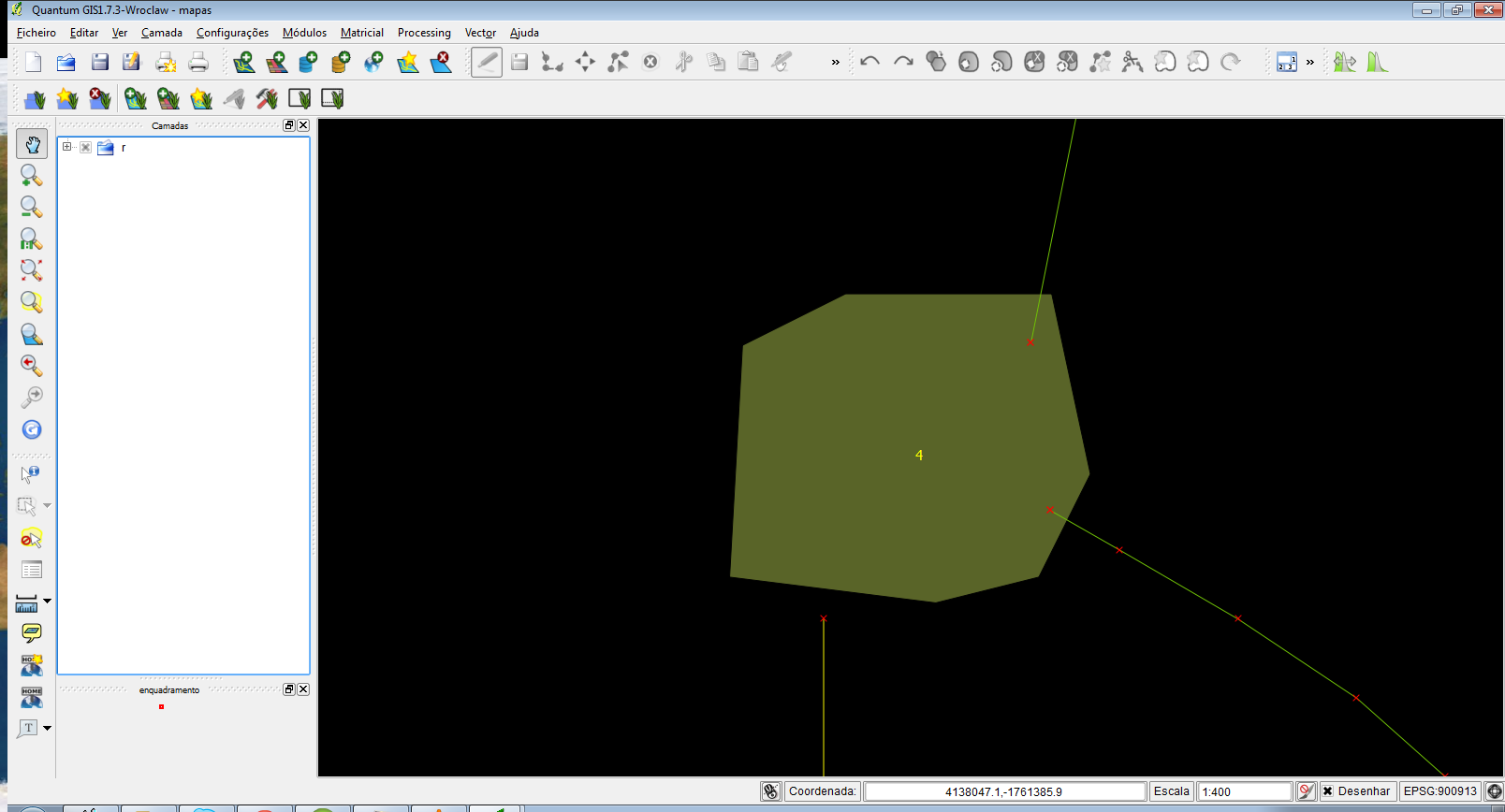
I have a shapefile of lines and another of polygons. When two or more lines intersect a polygon they should be connected (snapped), but sometimes during manual digitization this doesn't occur. I need to find and correct all these errors. I used v.clean from GRASS GIS and it automatically snapped a lot of vertices, which was good, but some of those disconnected lines are further from the tolerance I gave and if I increase the tolerance too much it begins to generate other types of errors.

Any ideas?
