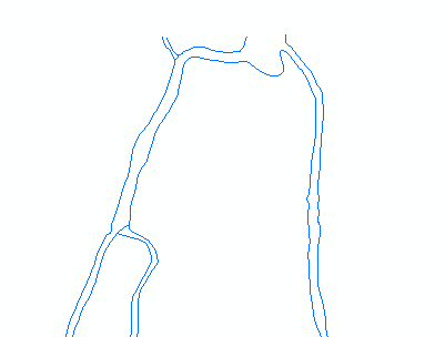
I got hydrography data where rivers are represented by polylines of their borders :

I would like to symbolize these rivers with blue filled polygons, so I want to convert into a polygon layer. Does anyone have an idea of how to do it?
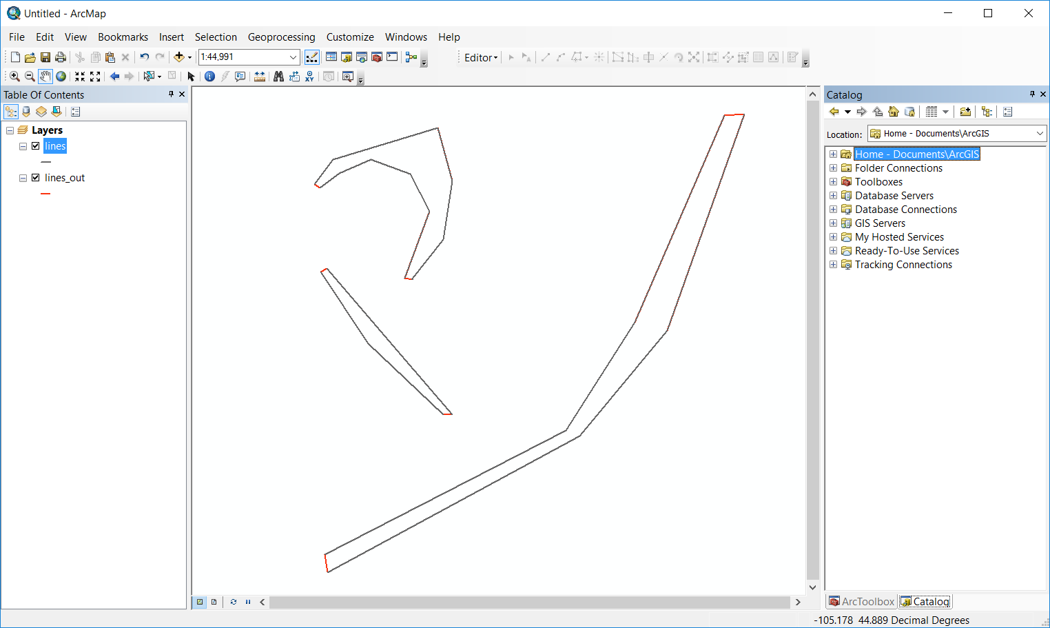
In the feature class attributes, there's only the name of the river in common between both borders. Polylines are not closed as the image above, so a simple Feature To Polygon doesn't work.

