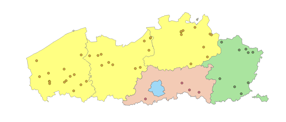
I have two vector layers:
- provinces (Belge_Lambert_1972, EPSG:103300) - clip layer
- building (WGS 84/ Pseudo Mercator, EPSG:3857) - input layer
I would like to overlay them, however there is something wrong. I believe it had to do with the Coordinate Reference System.
When i work with the layer without conversion of the reference systems, the data does overlay exactly. I know that the buildings should lie within the provinces from the definition of the layer. However, when I want to clip the layers I get an notification:
Layers do not all use the same CRS. This can cause unexpected results. Do you want to continue?
On the other hand, when I do convert the WGS 84/ Pseudo Mercator, EPSG:3857 to Belge_Lambert_1972, EPSG:103300 CRS, the layers are not overlapping at all. Actually, I can find the layers by using "zoom to layers".
How can I clip these two layers correctly?

