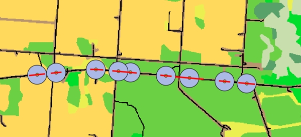
I'm trying to collect data along highway segments in northern Alberta. I took vector data from ABMI (http://www.abmi.ca/home.html) and rasterized this to work within LecoS. I had success in early attempts to extract spatial metrics using the LecoS vector overlay function. The road segments are wildlife mortality (animal vehicle collision) hot spots and cold spots estimated using KDE+ software. I selected the center of each segment to create a 500 m circular buffer to sample the surrounding landscape. I have other raster layers that I'm hoping to use in my summary analysis and will be expanding the sampling to different buffer sizes. The following figure shows the vector overlay sampling scheme - a 500 m radial buffer from the median of each segment.
Here's a video example of LecoS (https://www.youtube.com/watch?v=mDpowxRzgOY) if anyone doesn't know about this plugin.
Everything was working in early trials with LecoS. I saved my workspace and the next day found that I could no longer extract LecoS metrics. I went through the entire process of rasterizing, projecting, and clipping the data to see if going from scratch would work. I tried uninstalling and re-installing LecoS, but this has not solved my problem. I clipped the raster in an attempt to make the analysis space smaller. I've kept the analysis simple by selecting only one metric at a time.
I'm using QGIS V. 2.18.21. LecoS prompts a response in the bottom left of my workspace:
"Land cover calculated for feature 58 out of 58 (0 impossible)"
However, nothing happens after this - it stalls. I left it running overnight - still no table is generated. It shouldn't be a matter of waiting, because it took only a few minutes to get a table in my earlier attempts. I've tried saving to a file, adding table to workspace, and save in the attribute table - none of these options are working.
I've uploaded my raster and the buffer into Dropbox to see if I someone can try to execute and recreate the error. The vector data came from ABMI - so it is projected in Alberta 10-TM (Forest) EPSG:3400, NAD83.
https://www.dropbox.com/sh/uuzv8iw6ek09afd/AABwAGkBDBXLH3sfawm5ItxLa?dl=0
UPDATE: I clicked on the option to append the data to the Attribute Table. This worked on one trial occasion, but the excel file is blank. I had to re-open the vector file to see the appended data in the attribute table.
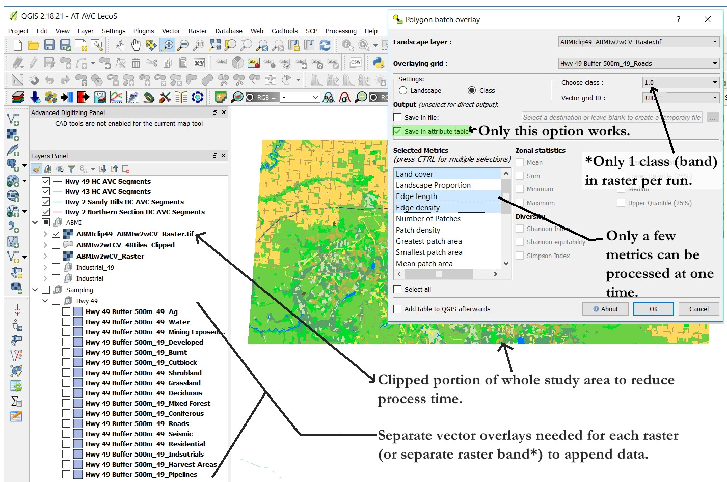
The process is slow because I have to create a unique vector layer to correspond to each raster layer. Further, I can only do a few metrics at a time. This workaround process creates a whole bunch of sub-files that I have piece together. I'm including a graphic overview to help contextualize the issue.
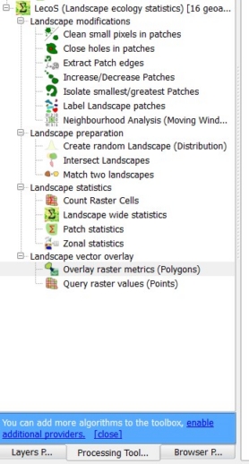
There is the option to batch process by selecting through the toolbox, but the problem still exists that a separate vector needs to be created for each type of analysis (e.g., Roads-500m.shp, Agriculture-500m.shp or Roads-1000m.shp, Agriculture-1000m.shp). It wouldn't be too bad if I could save the results as a csv - because I can amalgamate in R, but the LecoS software is not creating the csv files. I can only get the data appended to the attribute table (sometimes - it stalls often). I am working with a laptop Intel Core i7 @2.60 GHz 16GB RAM - GeForce GTX 960M. Might be a processing issue? Any suggestions?
I've posted this question on the gitHub for the software as well - but thought it would also be useful to post the question here in case someone else has had this experience and could provide an answer or suggestions to make this work more effectively.


