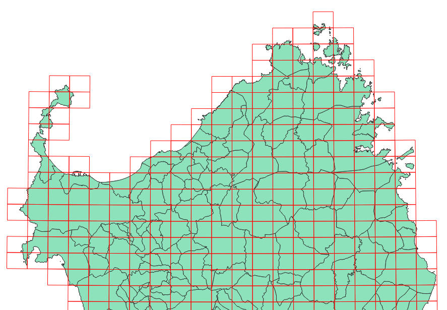
I need to create one map atlas for each municipal administration filtering the coverage layer (red rectangles = map sheets) by municipal administrations boundaries layer (green polygons). How is it possible to solve this problem?

-
1can't you just use the municipal boundaries as the atlas coverage?– Ian TurtonCommented Nov 26, 2018 at 8:50
-
2What have you tried so far and how is it not working?– bugmenot123Commented Nov 26, 2018 at 9:32
-
a) The layout created refers to the map sheet with a fixed scale of 1: 10000. b) I tried to create an intersection layer (map sheets - municipal boundaries) but I don't know how to create an expression that dynamically link each element of the intersection layer to the coverage layer and I have not found any example about. I also thought about the possibility of a spatial query but I have not found any example that concern atlas generation.– Andrew-63Commented Nov 26, 2018 at 11:04
Add a comment
|
1 Answer
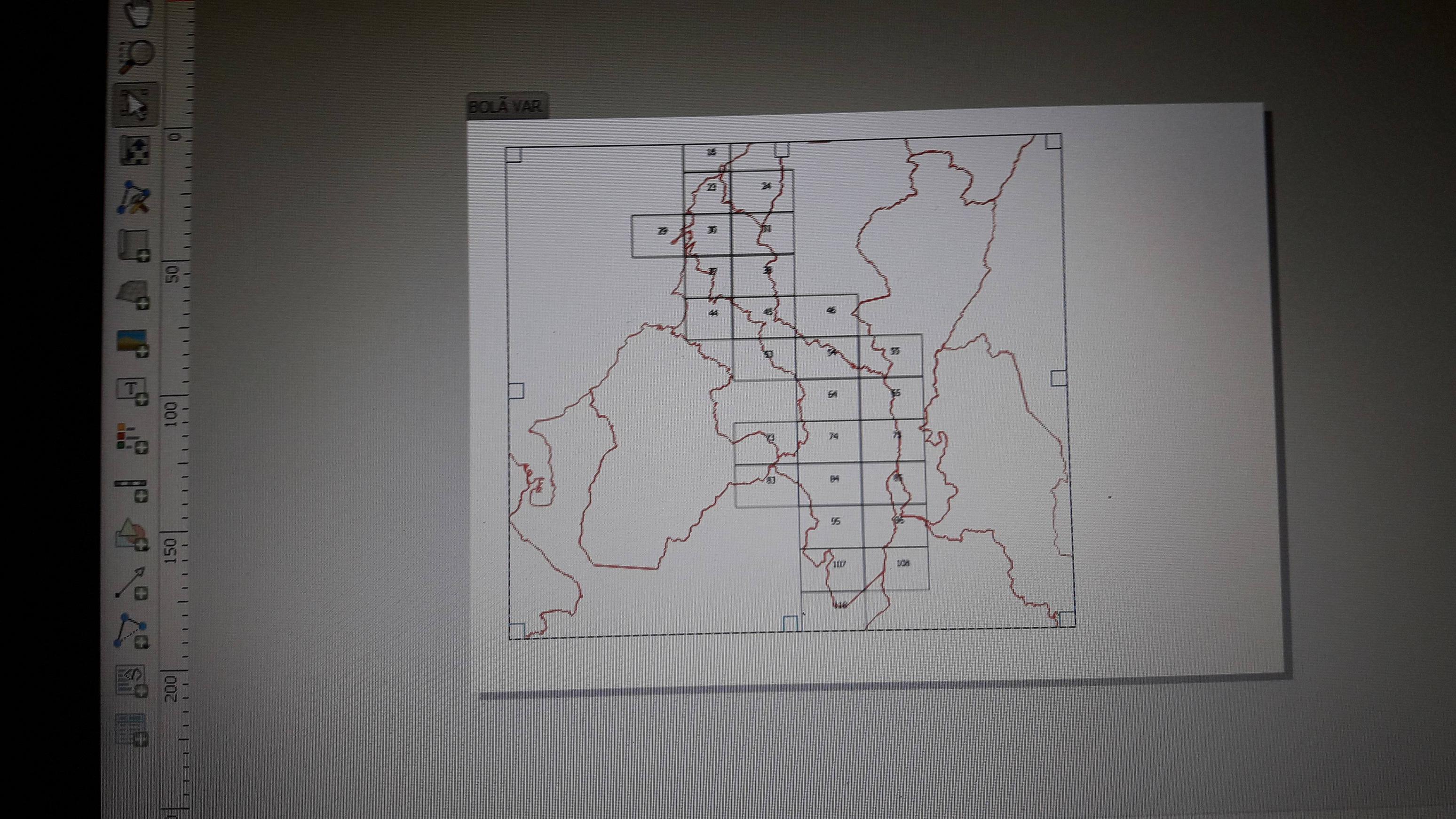
First in atlas use the municipality green polygon by some name or code, then in the properties from red polygons use symbology by rules, and in the expression use intersection(@geometry,@atlas_geometry), with this solutions I did something similar, my result was the municipality green, and the red polygons

-
1Welcome to GSE ! For better quality and visibility screenshots, take a look at : take-a-screenshot.org . Commented May 10, 2019 at 12:25
