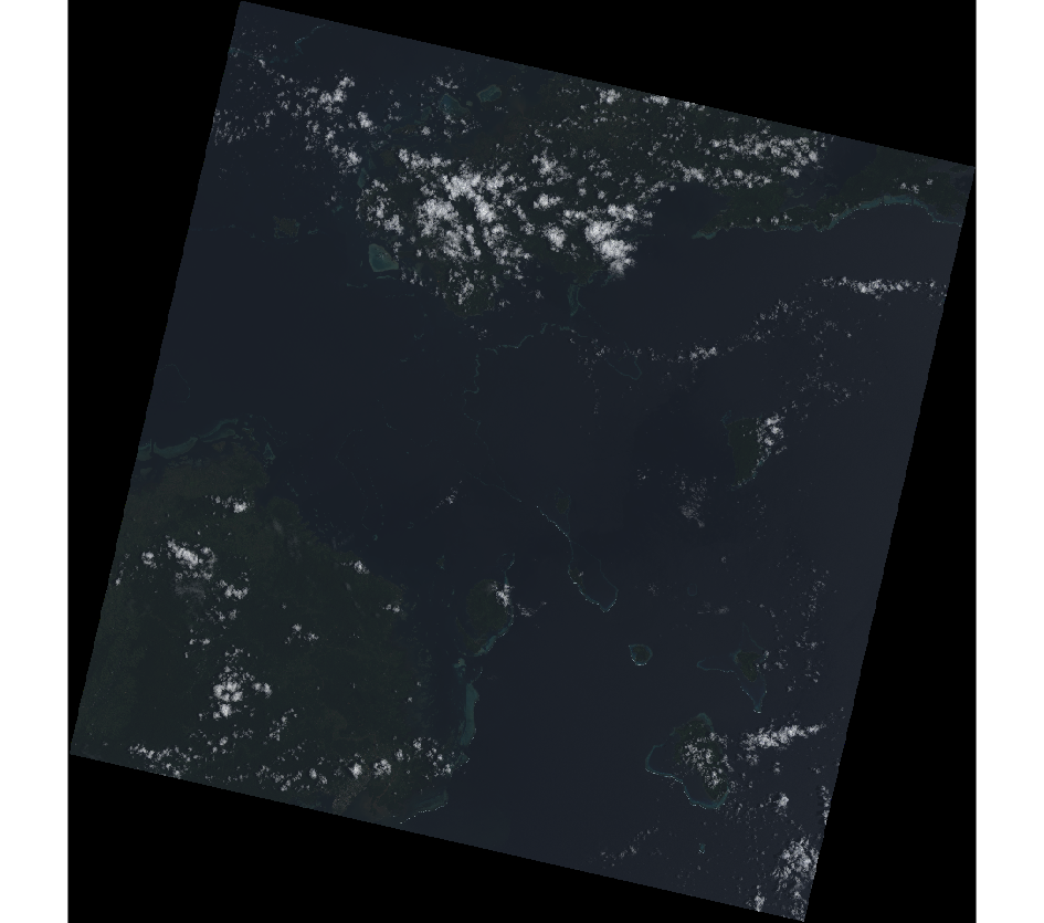
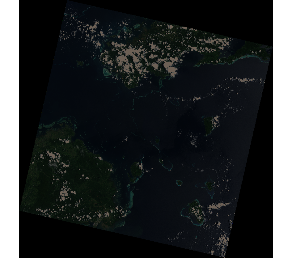
I am trying to apply i.atcorr to a landsat mosaic with GRASS. These are my 6S parameters:
18
01 31 22.10 178.940 -17.263
1
1
0
0.115
-0.270
-1000
 116
Everytime I run it, it returns me a raster with only one value. I've changed the values, I've tried with dummy data, I've read the documentation several times. I have read literally all the questions here in stack gis about the use of i.atcorr with GRASS, and in their mailing list as well. There seems to be a lot of people that has the same output, this sort of blank raster, but there is not a clear solution to this.
Has anybody applied this algorithm successfully to Landsat 8 and, if so, any idea on I am possibility doing wrong?
**Edit: GRASS GIS 7.4.4. on Windows 10.


Scene_center_timeis the time that the scene was recorded, according to landsat.usgs.gov/landsat-science-data-products-metadata