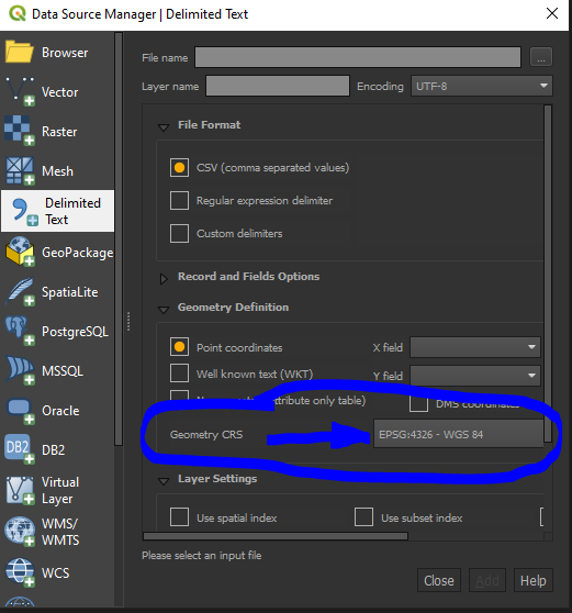
I have been given a list of latitude and longitude coordinates in a .csv file and asked to plot them on a map. There are multiple other columns of data about each point included in the excel file.
I'm using QGIS to try to project them, but the procedures I have found both on this website, and on others have not given me the answer I need. I have plenty of experience geocoding addresses on a list in an excel sheet, but have not had to plot coordinates before. I've imported the list as a Delimited Text Layer, then saved it as a shapefile. However the points do not project.
Is there a step I'm missing, or a plugin I need to acquire to get this done?

