[OP: my error, circle CRS in LR corner is Project's CRS, not layer's.] QGIS 3.10; Ubuntu 18.04
Glossary for new users: CRS-Coordinate reference system (one of two types, geographic or projected); GCS-geographic coord. system, on-the-globe, lat/long, angles; PCS-projected coordinate system, onto a 2D map, lengths
Here are my steps:
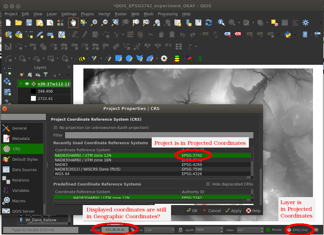
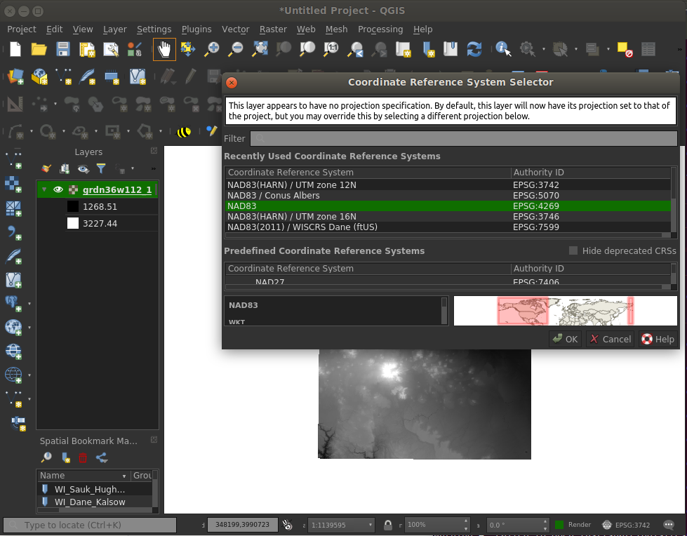
- start QGIS and set Project->Properties->CRS to a PCS (EPSG:5070)
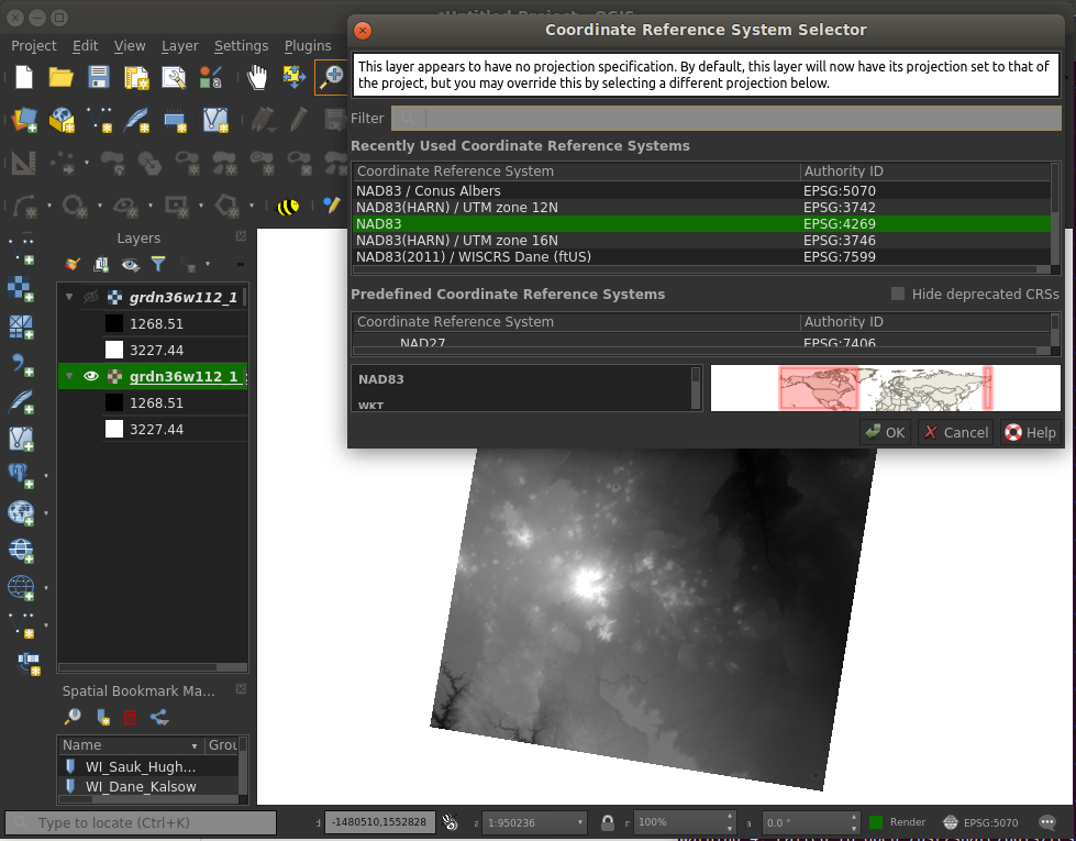
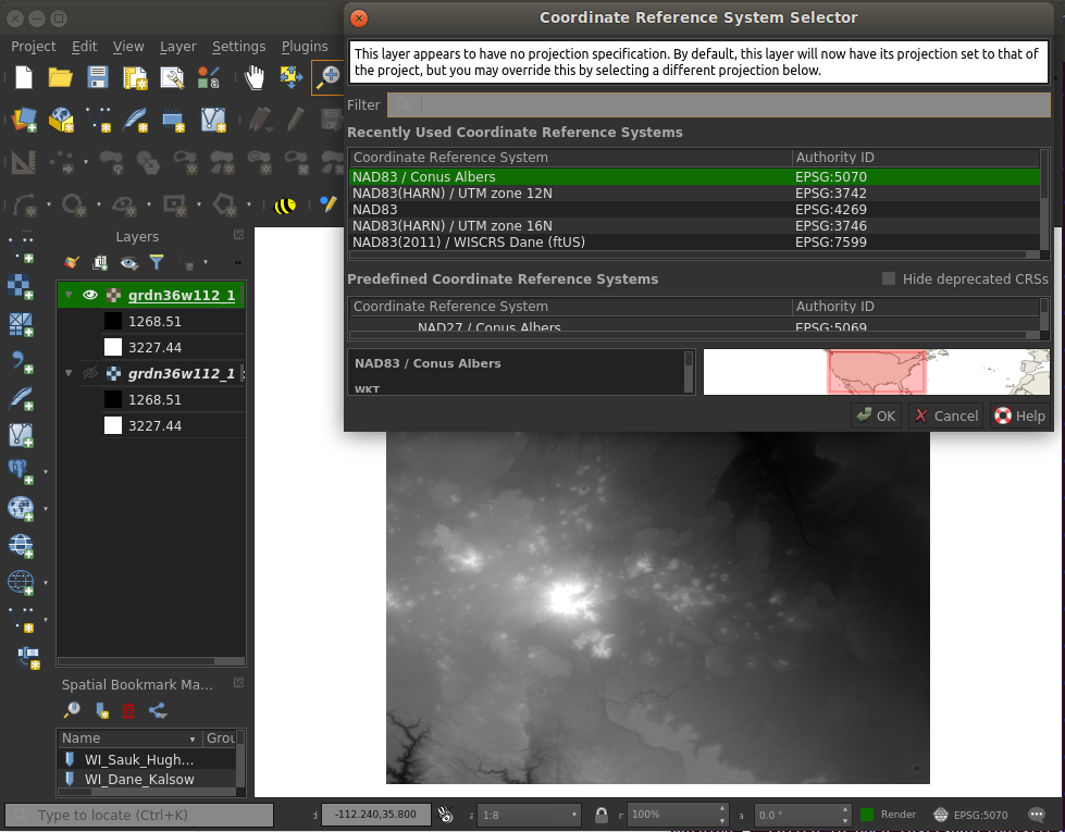
- load a PCS raster file as a layer (saved from a previous GCS raster layer, as in this thread)
- verify that the layer's CRS is identical to the project's
- note that the coordinates displayed below the layer view are still GCS, lat/long, only.
Another thread advises to edit the attribute table, but that applies to vector layers only.
I know I've expressed a considerable amount of thickness regarding how to handle mixed layers of GCS and PCS coordinates over some years, but it's beginning to feel like I'm closing in on it.
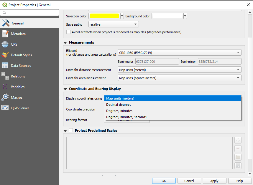
Q. Is there a 'toggle' between displaying GCS and PCS in the main QGIS window? No, but discussion follows.
Response to @Ian Turton's request for 'gdalinfo layer-file'
    grdn36w112_1$ gdalinfo w001001.adf
Driver: AIG/Arc/Info Binary Grid
Files: .
       ./sta.adf
       ./log
       ./w001001.adf
       ./hdr.adf
       ./prj.adf
       ./metadata.xml
       ./dblbnd.adf
       ./w001001x.adf
Size is 3612, 3612
Coordinate System is:
GEOGCS["NAD83",
    DATUM["North_American_Datum_1983",
        SPHEROID["GRS 1980",6378137,298.257222101,
            AUTHORITY["EPSG","7019"]],
        TOWGS84[0,0,0,0,0,0,0],
        AUTHORITY["EPSG","6269"]],
    PRIMEM["Greenwich",0,
        AUTHORITY["EPSG","8901"]],
    UNIT["degree",0.0174532925199433,
        AUTHORITY["EPSG","9122"]],
    AUTHORITY["EPSG","4269"]]
Origin = (-112.001666666700004,36.001666666664136)
Pixel Size = (0.000277777777778,-0.000277777777778)
Corner Coordinates:
Upper Left  (-112.0016667,  36.0016667) (112d 0' 6.00"W, 36d 0' 6.00"N)
Lower Left  (-112.0016667,  34.9983333) (112d 0' 6.00"W, 34d59'54.00"N)
Upper Right (-110.9983333,  36.0016667) (110d59'54.00"W, 36d 0' 6.00"N)
Lower Right (-110.9983333,  34.9983333) (110d59'54.00"W, 34d59'54.00"N)
Center      (-111.5000000,  35.5000000) (111d30' 0.00"W, 35d30' 0.00"N)
Band 1 Block=256x4 Type=Float32, ColorInterp=Undefined
  Min=1079.405 Max=3847.728
  NoData Value=-3.4028234663852886e+38

gdalinfoon the raster